Insight Bowl
Page 1 | Page 2 | Page 3 | Page 4 | Page 5
Text will not be on the individual picture pages. Apple-click on the photo to open it in a new tab.
The setup: Christmas Eve, 2009, and a plane ticket out of Cedar Rapids to Phoenix via Dallas. The forecast: DOOOOOM! Snowy, icy DOOOOOM! My family and I need to get out of Iowa ASAP.
(Boy, if the state had a nickel for every time someone said that...)
Anyway, after my fog-filled drive on I-80, we waited for our flight...and waited...as the snowstorm slowly worked its way east.
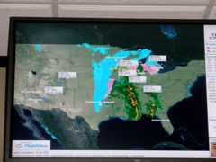
The flight was delayed three times, then cancelled because our plane could not get to Cedar Rapids. Why? The plane was stranded in Dallas,
which was in the middle of its first blizzard warning in history. In fact, it was the first Christmas Eve snow there since records began in 1898. Fortunately,
we got to the counter immediately after the cancellation announcement and the American agent got us on a trip to Phoenix via Minneapolis on Mesaba -
excuse me, Northwest - excuse me, Delta. It was this or bust - the storm would arrive soon, and nothing else was available until Sunday or Monday.
But getting out of Minneapolis was a stroke of luck in itself. The day before, residents were urged to get out before the snowstorm hit,
which freed up some space on Thursday night flights. NBC said that 200 flights were cancelled Thursday at MSP and 100 in Dallas, which would
get its first white Christmas in 80 years. Fortunately, it was just nice fluffy flakes out the window during our MSP layover, then clearing
up slightly when we left. We touched down in Phoenix shortly after Christmas began in the Mountain Time Zone.
The storm. Merry Christmas.
|
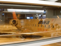
Flew America West in 2000 - airline now dead. Flew Northwest in 2009 - airline dead a month later.
|
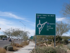
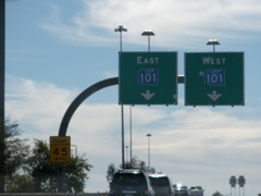
Two days later, a movie on the north side of Phoenix - and accursed traffic circles.
|
There are still some colored Loop shields around.
|
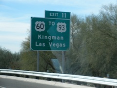
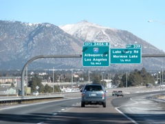
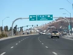
First picture of a BGS with US 93 and Las Vegas.
|
|
|
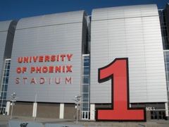
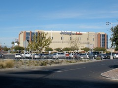
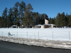
Not touring the stadium this time - that will come later.
|
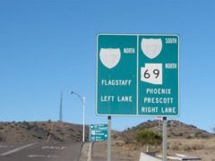
Really old sign at AZ 69.
|
Button copy and Butt-Ugly Kansas-Style Signage. What's next, button Clearview?
|
|
Stopped at the Flagstaff airport because the power outlet on a brand-new Mercury Grand
Marquis wasn't working. (And now the Mercury brand is dead too!)
|
This camera may be worse at getting in-focus pictures while in a car than my old one.
|
|
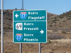
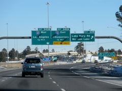
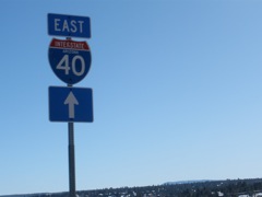
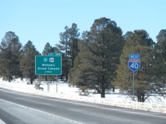
Control cities at I-17's north end go outside the state.
|
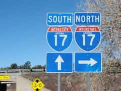
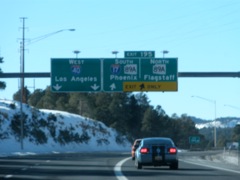
Clinched I-17 (again)! Last clinched interstate of the first decade of the 21st century.
|
Downtown Flagstaff, meeting old US 66.
|
|
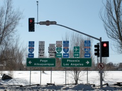
Lots and lots of shields
|
|
South beginning of US 89
|
|
|
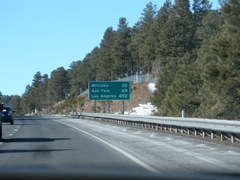
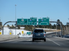
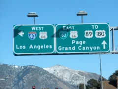
A distance sign to LA, even though I-40 doesn't go there.
|
Budget cuts in 2009 forced Arizona to close every rest area in the state.
|
|
|
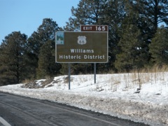
This out-of-focus picture shows the beginning of Loop 40 in Williams.
|
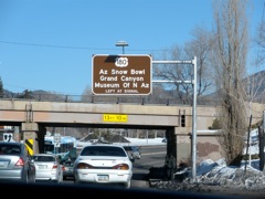
Notice that this is a brown sign, like the Historic 66 BGS above.
|
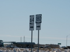
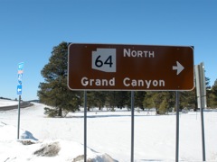
This sign, facing west as US 180 meets AZ 64, indicates 180 goes north to the Grand Canyon.
This has been a subject of some debate.
|