
(December 20, 1932-September 30, 1980)
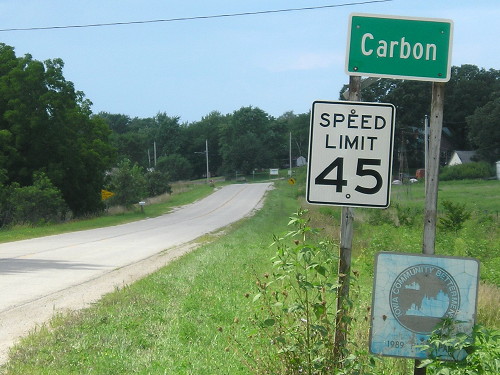
WEST End: 3rd St., Carbon, Adams County
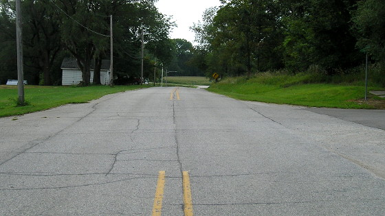
Facing west on 95 (8/16/16)
Aside from a steakhouse to the right, it didn't appear anything had been built new in town for decades.
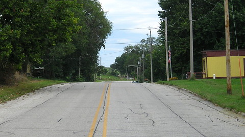
Facing east on 95 (8/16/16)
Carbon is one of the unlucky towns that lost its post office in 2011. It is now a private residence (right). You can see what it looked like in its official capacity in Jason's photo below.

Facing west on 95
Photo by Jason Hancock (4/23/06)

Photo by Jason Hancock (4/23/06)
The second-to-last route log for IA 95 points to an end at 3rd Street, rather than 4th, but either way, there's not much to see. This abandoned building, now demolished, sat in the northwest corner of the intersection.
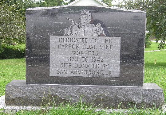
Coal mined were scattered across south-central and central Iowa in the late 19th and early 20th centuries. (8/16/16)
WEST End of IA 951 (1983-93): City limits of Carbon, Adams County
Facing west on 95 (4/23/06)
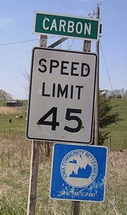
Photo by Jason Hancock
The blue sign reads "Iowa Community Betterment, 1989 Participant." The route was supposed to be turned over to the city and county in 1980, but Adams County refused to accept jurisdiction over the route. Instead of returning IA 95 shields to the road, the state designated it as IA 951 and it remained an "unsigned primary" for a decade.
Facing west on 95 (8/16/16)
As with IA 155 outside Nodaway, the "Community Betterment" sign has faded like whoa.
Facing east on 95 (4/23/06)
Photo by Jason Hancock
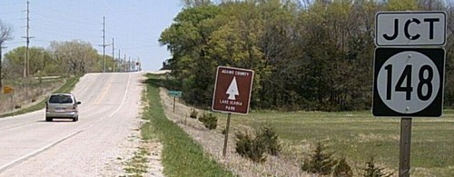
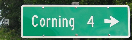
EAST End: Stop sign, IA 148, Adams County
Facing east on 95 (4/23/06)
Photo by Jason Hancock
The brown sign is for Lake Icaria County Park. "End 95" probably would have been between it and the LGS.
Facing east on 95 (4/23/06)
Photo by Jason Hancock
Facing east on 95 (8/16/16)
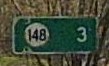
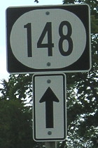
It's small in this picture, but the 148 shield on the left is very faded.
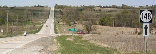
Facing north on 148 (4/23/06)
Photo by Jason Hancock
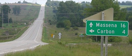
As like the north end of IA 46, the other signs at the intersection were left behind. Maps up to and including 2002 broke up IA 148's mileage here, in part because the route remained secret IA 951 for 11 years after decommissioning. Adams County didn't take control of the road until August 2, 1993.
Facing north on 148 (8/21/06)
Facing south on 148 (8/21/06)
Facing south on 148 (8/16/16)
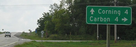
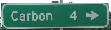
Not only did the state replace the LGS with a county-road version (only pointing to the town on the turn), the 148 shield left behind when IA 95/951 was decommissioned was also replaced instead of removed! However, there is still no county road sign at this intersection - despite being east-west, with a paved road running eastward, old IA 95 is marked as N28 on the county map. It really should be H31 or a western continuation of H33 (after a short north-south run with N53).
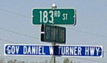
Photo by Jason Hancock (4/23/06)
Gov. Daniel W. Turner, born in Corning, served one two-year term (1931-33) and is best known for being governor during the Cow War.
Last seen: 1981 (as IA 95)
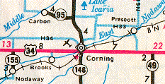
This map shows three things: 1) IA 95; 2) IA 155, decommissioned in 1980 but still on the map; and 3) the break in US 34's mileage at old IA 186 to Prescott for the first time post-decommissioning, which remained that way until the 2004 map.�
Page created 11/28/02; last updated 1/26/17