 SOUTH
SOUTH
SOUTH End: Missouri state line, 5 miles SW of Cincinnati, Appanoose County IA/Putnam County MO
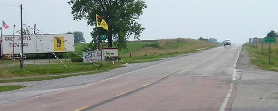
Facing west, but heading south, on 5
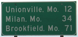
At approximately this point - the west edge of Cincinnati - the gravel route of IA 60 and today's paved IA 5 diverge. Looking at an Appanoose County map, you can see the curves the road used to take before the state line, west of the present route. More on that below. Brookfield, three counties down on US 36, is one of the farthest south cities on an Iowa leaving-town LGS.
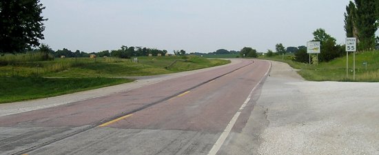
Facing southwest, but heading south, on 5
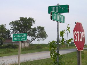
Like other routes at the line, the first sign is not a Missouri highway shield but a "Missouri state line" sign.
And yes, this intersection has another one of "those" stores.
Facing northeast, but heading north, on 5
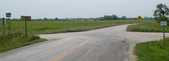
The asphalt colors mark the dividing point, and the gravel road intersects at an angle. Reddish asphalt appears elsewhere in southern Iowa as well.
Surrounding area information: Old end of IA 60
Facing north
On the Missouri side, the piece of old 60 is paved as Route UU. From at least the early 1930s to 1951, this was where MO 5 met the state line, though the entry into Iowa may be slightly different.
Closeup of sign at right
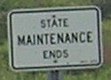
Unlike Iowa, though, "county" trunk highways are maintained by MoDOT. Such an arrangement doesn't lend as much benefit to mass decommissionings, which may explain why Putnam County still has MO 129, 139, and 149 continuing north to the Iowa state line despite being essentially worthless north of US 136.
Facing south
This street sign is on the Missouri side of the road with Putnam County names. Appanoose County is in charge of the gravel road.
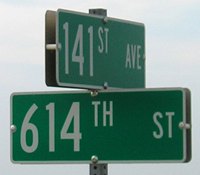
This Appanoose sign is unusual in the sense that rural street names tend to end in 0 or 5, depending on whether it's the mile or half-mile in the plat. In this case, 614th Street is the name because there is not quite half a mile between the section line and the state line. The state line is steadily creeping east-north-eastward from the west end of the county to the east, shaving off about half a mile in the process. This partial row of sections vanishes entirely two miles east of US 63. For more information see my page about Iowa's southern border.
Surrounding area information: Motel 60
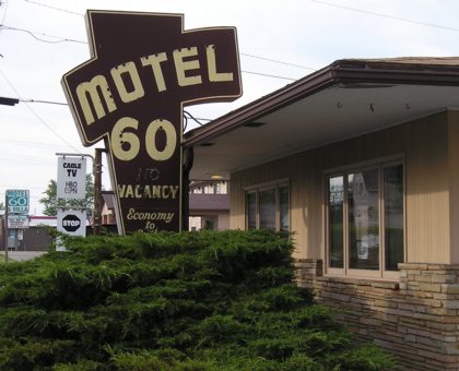
A short distance north of the IA 5/IA 2 intersection in Centerville is this throwback, from when 5 was IA 60. This is the original building; it has since expanded, as can be seen from the second Motel 60 sign in the background.
All pictures by me: 7/11/05
Page created 1/5/02; split 11/6/05; last updated 11/6/05