

(IA 67: July 1, 1920-December 4, 1934)
(IA 55: December 4, 1934-July 1, 2003)
- In 1920, they knew it as: Seymour's connection to the Waubonsie Trail, and also a tiny fragment of Southwest Trails between Chicago and Kansas City (registered June 28, 1915)
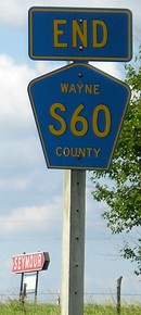
- We know it as: IA 55 before the Second Great Decommissioning, now S60
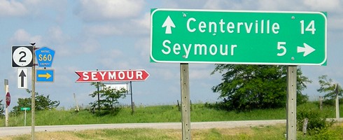
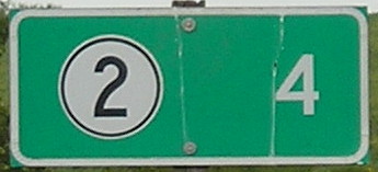
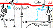
NORTH End: Stop sign, IA 2, originally IA 3, Wayne County
The below photos alternate between pre- and post-decommissioning.
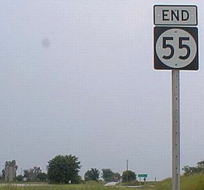
Facing north on 55 (2002)
Photo by Ben Prusia
Although a two-digit number, this is not the spur's original designation. There's a strange little saga with the numbers 55 and 67: In 1926, US 55 was written through northeast Iowa while IA 67 belonged to this spur route. When US 55 was decommissioned in 1934 (replaced by US 52) and US 67 came into Iowa, the two numbers swapped significance. Now, 67 went through from Davenport to Dubuque, and 55 only went from IA 2 to Seymour. A similar 'fall from grace' situation occurred with 161, once a road from Dubuque to Keokuk but later just a tiny thing in and out of Dedham.
Facing north on 55 (6/11/07)
Facing west on 2 (6/16/03)
Facing west on 2 (6/11/07 and 10/3/15)
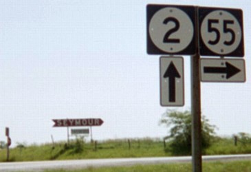
Facing east on 2 (6/16/03)
Facing east on 2 (6/11/07)
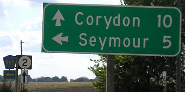
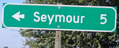
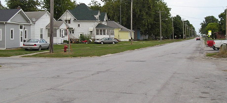
SOUTH End: 4-way stop, J46/Main St., Seymour, Wayne County
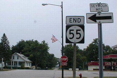
Facing south on 55 (2002)
Photo by Ben Prusia
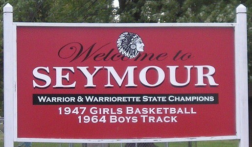
Seymour (1920 pop. 1746, 2010 pop. 701) is one of three towns with a 1920 spur that lost more than 1000 people in the past century.
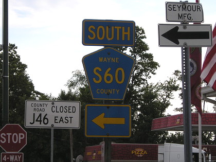
Same intersection, post-decommissioning (9/13/11)
The county road heading south out of Seymour leaves on the east side of town past the school.
Facing south on 55 entering town (9/13/11)
Seymour, a town of
3,000 population, is the metropolis of Wayne county. It is located on
the Waubonsie Trail through Iowa, and because of the excellent
accommodations offered to tourists, is one of the popular points of
that highway.
Seymour has unusual railroad facilities for a city of its size. The
Chicago, Rock Island and Pacific and the Chicago, Milwaukee and St.
Paul roads enter the city. These two trunk lines afford sixteen
passenger trains daily and corresponding freight service and are
largely responsible for Seymour's material development in recent years.
Seymour is bounded on all sides by a vast prairie, unexcelled for
farming. It also is situation within one of the best blue grass pasture
of the country, where horse, cattle and hog raising is carried on to a
large extent. Thousands of tons of coal are taken from mines in the
vicinity, the famous "Sunshine" coal mines being there.
— Huebinger's Map and Guide for Waubonsie Trail (1912)
Facing north on 55 (9/13/11)
Old SOUTH End (1934-88): 3rd St., Seymour, Wayne County
Facing east on J46 (9/13/11)
Highway logs show that 55 used to turn east for two blocks into Seymour's downtown until September 16, 1988.
Last seen: 2003
Pictures by me: Second, third, fifth, and seventh, 6/11/07; fourth and sixth, 6/16/03; ninth-twelfth, 9/13/11
Page created 10/8/02; last updated 3/15/20