
(January 15, 1935-July 1, 2003)
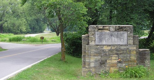
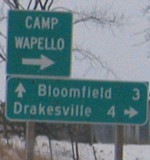
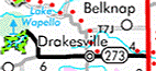
WEST End: Lake Wapello State Park, Davis County
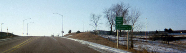
Facing northwest, but heading west, on 273 (7/11/05)
Highway 273 was one of two routes killed in the Second Great Decommissioning that no one was able to get pictures of, mainly because of its semi-isolation from other ends. In summer 2005, I found this naked pole still standing a ways from the park entrance, but because there's a corresponding pole the other way I figure this was where "End 273" was.
Facing south, west of the end pole (7/11/05)
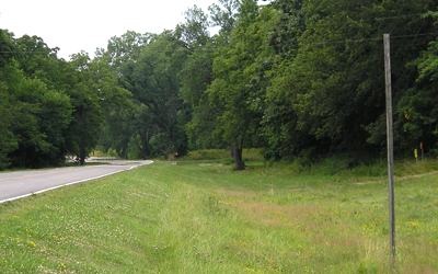
Along the route
Pay close attention to this picture. Does something look strange? In addition to this, Davis County did not assign any county road designation to 273, though J24 would be appropriate. (7/11/05)
These pictures were taken on a day that started out sunny (see IA 156), but then grew cloudy as I headed southeast. I later found out that it's possible that the clouds I saw here and near Bloomfield were the very, very outer wisps of the remnants of Hurricane Dennis, which at the time was a tropical depression stalling over southern Illinois. If they were - and for clouds near the Mississippi River, they almost definitely were - it would be one of the very few times that a hurricane's presence was visible in Iowa. Only three hurricane tracks have ever entered Iowa in the past 125 years. As it turns out, one of the three is the infamous Galveston Hurricane of 1900, responsible for thousands of deaths in Texas.
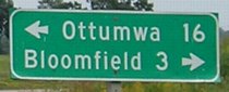
IA 273 is only one of two spurs decommissioned in 2003 that went through another incorporated town (Drakesville, pop. 185) between endpoints. The other was IA 225, which enters and leaves Lynnville between Sully and IA 146. IA 215 went through unincorporated Gifford between Eldora and Union, and IA 364 had Waukon Junction between IA 76 and Harpers Ferry. In Drakesville, 273 split into one-ways for one block.
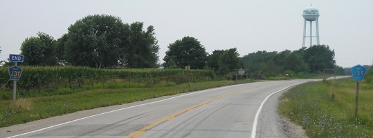
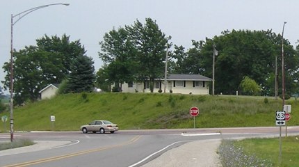
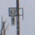
EAST End: Stop sign/T intersection, US 63, Davis County

Facing east on 273 (7/11/05)
It looks like Mile Marker 10 was on the "End 273" pole.
Facing east on 273 (7/11/05)
Facing east on 273 (7/11/05)
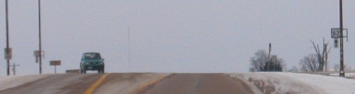
Facing south on 63 (1/25/03)
Facing south on 63 (1/31/04)

Facing south on 63 (7/15/19)
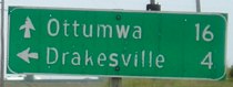
That's not quite how that's supposed to look.
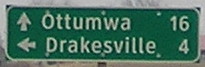
Facing south on 63 (1/31/04)
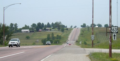
The brackets were still up in mid-2005 (see below) but they and the shields were gone by 2012.
Facing north on 63 (7/11/05 and 2/9/12)
Facing north on 63 (7/11/05)
Facing north on 63 (2/9/12)
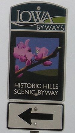
The Historic Hills Scenic Byway runs from Donnellson through Davis and Van Buren counties to Drakesville. One branch goes to US 34 at the Monroe/Wapello county line and the other to Moravia.
Last seen: 2003
Page created 2/28/03; last edited 3/18/20