
(January 16, 1934-July 1, 2003)
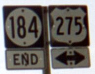
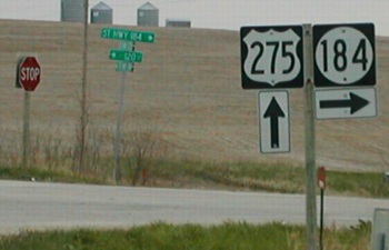
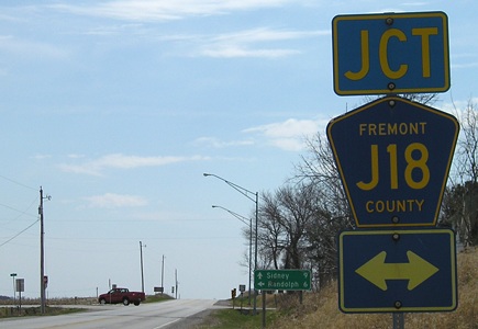
WEST End: Stop sign, US 275, Fremont County
Facing west on 184 (2003 / 2009)
Facing west on 184
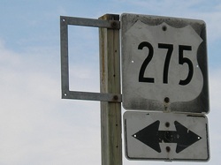
Facing north on 275 (2003)
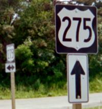
The US route goes in a somewhat deep cut here, and this sign is only about 7 feet above the ground (if that).
Facing north on 275 (2009)
Closeup of sign in above picture
Facing north on 275 (2002)
Photo by Neil Bratney
Facing south on 275
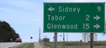
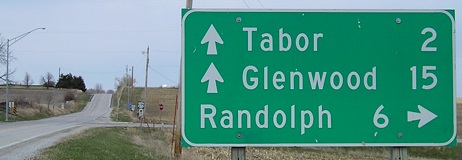
This sign leaving Tabor, 2 miles north of the 184 intersection, still goes to St. Joseph, although 275 hasn't for years.
Facing south on 275
Facing south on 275 (2003)
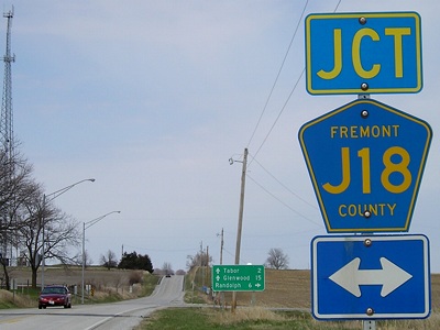
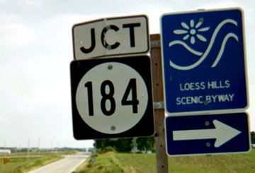
Even prior to decommissioning, the 275 shield stood alone at the intersection, meaning the southbound traveler didn't know which way 184 went.
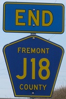
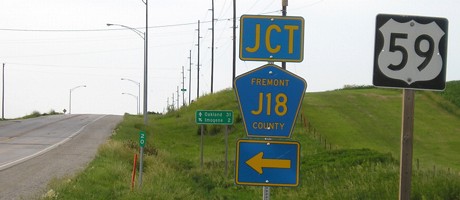
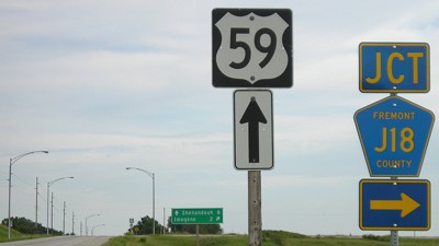
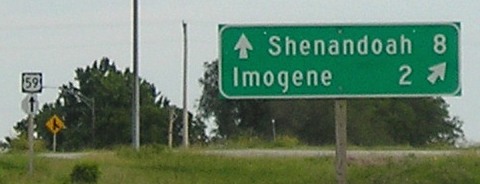
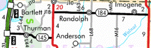
EAST End: Y intersection, US 59, Fremont/Page county line
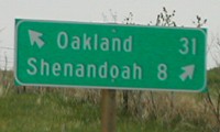
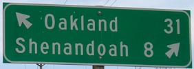
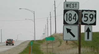
Facing east on 184 (2002)
Photos by Neil Bratney
Facing east on 184 (2009)
Facing east on 184
Photo by Neil Bratney
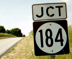
Highway 184, like a few others (e.g. 21 and 160), was almost exactly a certain number of miles long, in this case 15. It would have been interesting to see the shield assembly combined, with arrows going both diagonal left and right. The directional-T layout may be related to when US 59 was on the road between Imogene and here, where it turned south onto the present alignment (notice the dominant curve is to the south).
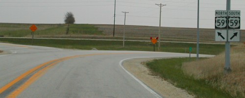
Facing north on 59 (pre-decommissioning)
Photo by Neil Bratney
Facing north on 59 (post-decommissioning)
Facing north on 59
Facing south on 59
Facing south on 59
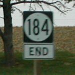
Last seen: 2003
Pictures by Neil Bratney: Seventh, twelfth, 13th, 16th, and 17th, 4/20/02
Pictures by me: First, fourth, tenth, and eleventh, 6/16/03; second, third, fifth, sixth, eighth, ninth, 14th, and 15th, 4/15/09; 18th-21st, 6/12/06
Page created 5/22/02; last updated 7/30/09