


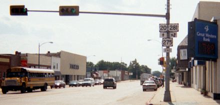
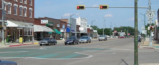
NORTH End: Stoplight, US 20/Douglas St. and US 281/4th St., O'Neill NE, Holt County NE
Facing west on 275
This intersection counts as both the "north" and "west" end of US 275 because it is signed east-west in Nebraska.
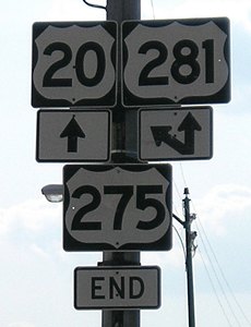
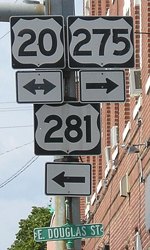
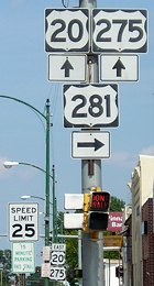
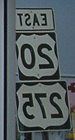
Closeup of signage
Facing north on 281
Facing east on 20/281
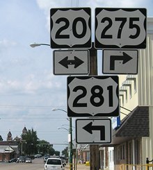
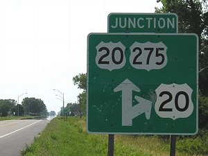
Closeup of signage / first signs on 275, reflected in mirror
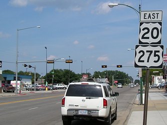
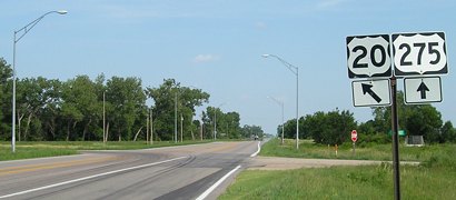
Facing east on 20/275
Surrounding area information: Duplex with US 20

Facing southeast on 20/275
On the east side of Inman, the only town that 20 and 275 go through together, is this sign. Sioux City is the next large city along 20; Plainview is the only one above 1000 between here and South Sioux City.
Facing southeast on 20/275
There really isn't any reason for 275 to continue northwestward with 20 to O'Neill, other than to end at a city instead of an intersection and to end at a north-south route (275 being an east-west here).
Facing northwest on 275
The 276-mile (or so) route of US 275 from O'Neill to Rock Port could be done in one day. I did it over three (June 16, 2003, and June 26-27, 2006).
Iowa lines: Council Bluffs, Pottwattamie County; near Hamburg, Fremont County
US 275's current and historic ends and entrances in Iowa are placed on a separate page.
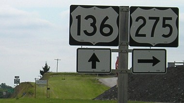
SOUTH End: Stop sign/T intersection, US 136, Rock Port MO, Atchison County MO
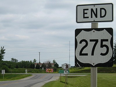
Facing south on 275
US 275's main claim to fame between Omaha and its old end in St. Joseph is that it was important enough to become the route superseded by I-29. If Missouri ever wanted to, it could easily get rid of its 17 miles of US 275 and ask Iowa to send 275 over the remains of IA 333 to end at I-29 on the west side of Hamburg.
Facing south on 275
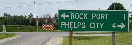
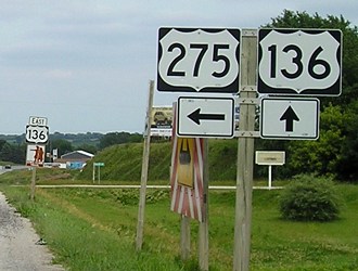
This intersection is 17 miles away from Iowa (on 275) and 6 miles away from Nebraska (on 136).
Facing east on 136, west of the intersection
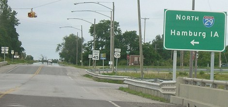
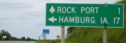
It's shorter and faster to turn here for Hamburg than continuing east to pick up 275. I'm surprised Hamburg is used here instead of Council Bluffs.
Facing east on 136
Facing east on 136
Facing east on 136
Facing west on 136
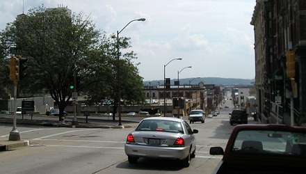
Old SOUTH End: Stoplight, US 36 W/4th St. and E/Jules St., St. Joseph MO, Buchanan County MO
Facing south on 275
This, according to Mark Roberts' old Missouri maps, is one end of US 275 in St. Joseph. The car is at the end of 275. The county courthouse is to our left. Ahead is US 36 to Kansas. To the left is also 36. Now, both of these streets are one-ways.
At commissioning, 275 was the only US route connecting northwestern Missouri to St. Joseph. Three years later, when US 59 was created, apparently no one gave a second thought to the long redundant multiplex southward from Tarkio. It would take decades before 275's south end was moved up to Rock Port.
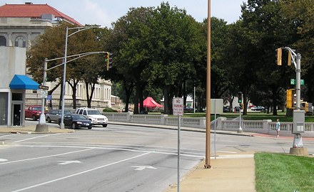
Old SOUTH End: Stoplight, US 36 W/10th St. and E/Frederick Ave. (with City US 71), St. Joseph MO, Buchanan County MO
Facing east, but heading south, on 275
A slightly later map shows US 36 moved over a few blocks. This is facing east (south) on 275. The cars are westbound on 36 at this five-point intersection.
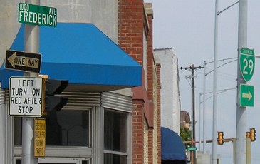
Closeup of above photo
Jules and 10th are both one-ways now. Business Loop 29 follows 36's old route.
All pictures by me: First-eleventh, 6/26/06; twelfth-eighteenth, 6/12/06; nineteenth and twentieth, 8/21/06
Page created 7/25/06