
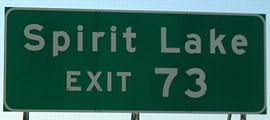
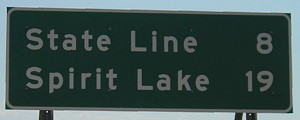
NORTH Iowa line: 10 miles NE of Spirit Lake, Dickinson County IA/Jackson County MN
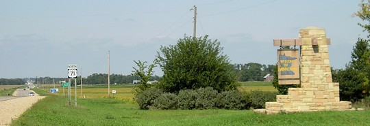
Facing west on 90 / Facing south on 71, leaving Jackson MN (9/8/06)
Facing north on 71 (9/8/06)
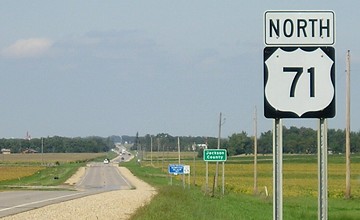
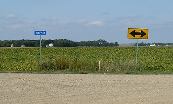
Facing north on 71 (9/8/06)
Minnesota likes big shields, but then doesn't increase the number size proportionally.
Facing south on 71 (9/8/06)
Old NORTH Iowa line: 2 miles west of present entrance, Dickinson County IA/Jackson County MN
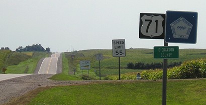
Facing north on 71 (9/8/06)
Prior to 1934, 71 followed a stairstep alignment out of Spirit Lake. Although maps show 71 continuing straight through the line, the county roads don't align. Most likely, 71 went a few dozen feet to the left to another gravel road and then continued north.
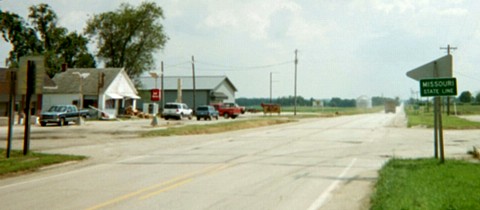
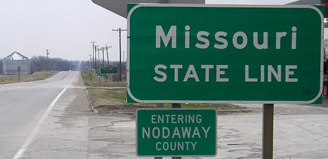
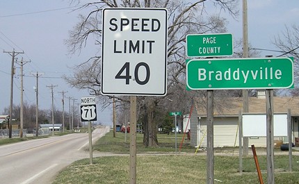
SOUTH Iowa line: Braddyville, Page County IA/Nodaway County MO
![]()
![]()
Facing south on 71 / Facing north on 71 (4/6/08)
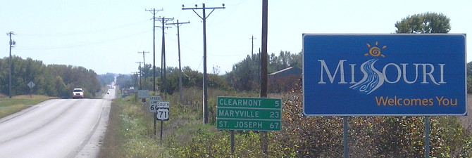
These signs in Clearmont, the northernmost town in Missouri along 71, are the first mentions of both Kansas City and Carroll in their respective directions. Notice that the halfway point makes out to be about three miles south of the state line.
Facing south on 71 (6/16/03)
Compare the state-line sign, typical for the time, with the interstate-style one there five years later:
Facing south on 71 (4/6/08)
Facing south on 71 (10/2/15)
Facing north on 71 (4/6/08)
Pictures by me: First-seventh, 9/8/06; eighth, 6/16/03; ninth and tenth, 4/6/08
Page created 12/4/06; last updated 12/19/16