
NORTH End: Direct merge into I-35, Albert Lea MN, Freeborn County MN
For pictures of US 65's current end, please see the US 65 page.
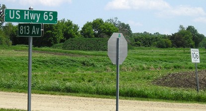
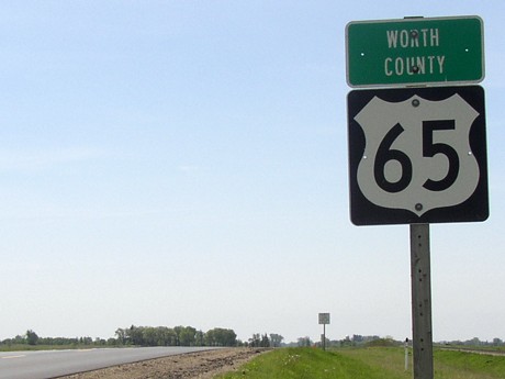
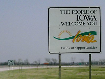
NORTH Iowa line: Near Gordonsville MN (4 miles N of Northwood), Worth County IA/Freeborn County MN
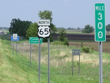
Facing north on 65 (February 2003)
Photo by Monte Castleman
Facing north on 65
Photo by Monte Castleman
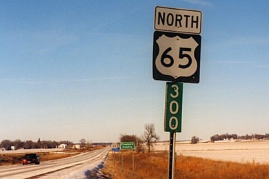
Three years later, the arrangment entering Minnesota had changed slightly:
Facing north on 65 (May 2006)
Minnesota's mileage of US 65 starts at 300 to distinguish it from MN 65 (most of which was, at most, signed as US 65 for less than twelve months).
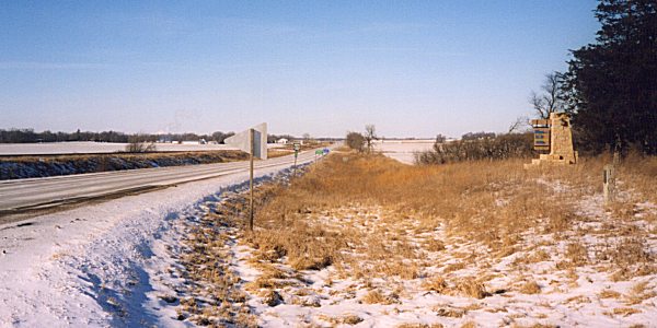
State markers on east side of road
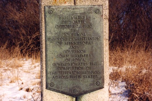
Photo by Monte Castleman
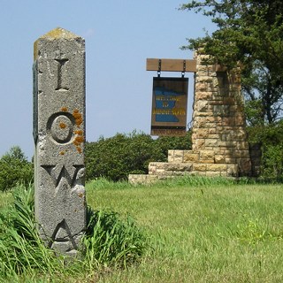
When US 65, previously known as the Jefferson Highway in the northern half of Iowa, was paved in the state, two states celebrated with this marker. (In the southern half, it's US 69.) The last segment paved in Iowa was in Hardin County, a realignment of US 65 that also created IA 175 to Hubbard.
This picture was taken alongside the Iowa asphalt, but all three are Minnesota signs (Clearview font on the left). The gravel road along the line goes slightly southwest before meeting 65.
Facing south on 65
Facing north on 65, north of Northwood / Facing south on 65, south of Kensett
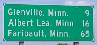
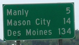
The signs on either side of Kensett span a distance of 206 miles - Des Moines (134) to Faribault (72). (The end of 65 is in Albert Lea now, but used to go to Faribault.) The sign leaving Northwood at left is the only one with all-Minnesota destinations, though. Because of the way 65 skirts town edges as it goes south, this is the first and last appearance of Des Moines until leaving Iowa Falls.
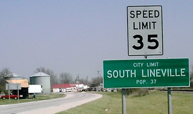
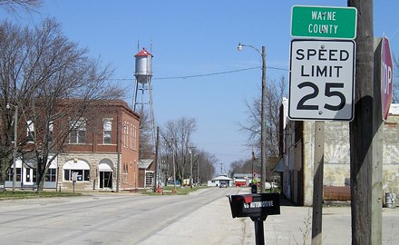
SOUTH Iowa line: Lineville IA/South Lineville MO, Wayne County IA/Mercer County MO
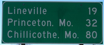
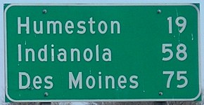
Facing south on 65, south of Humeston / Facing north on 65, south of Lineville
Because Lineville is on the state line, the sign leaving Humeston is the last one on southbound 65 before Missouri.
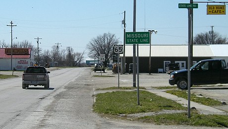
Facing south on 65
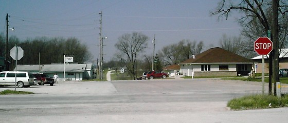
Within sight of State Line Road is a fireworks store.
Facing north on 65
Photo by J.D. Adams
Facing north on 65
Facing west on the state line
Photo by J.D. Adams
I found a pair of old photos that show 65 turning at the state line for an east-west block. However, they were not dated, and aerial photos from the late 1930s seem to point to 65 using Main Street the whole way, a block west of the current road, the one running past the brown-roofed building. (The block-west route was definitely used in South Lineville.) Another old photo listed many more businesses in Lineville than there are today.
Facing north on 65
Photo by J.D. Adams
Pictures by me: Third, fourth, sixth, eighth, and ninth, 5/28/06; seventh, 5/19/03; tenth-twelfth and 14th, 4/16/07
Pictures by J.D. Adams: 13th, 15th, and 16th, 4/20/07
Page created 7/3/06; last updated 1/6/13