
(December 6, 1962-July 1, 2003)
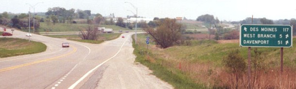
Old WEST End (1962-87): Stoplight, First Ave., Iowa City, Johnson County
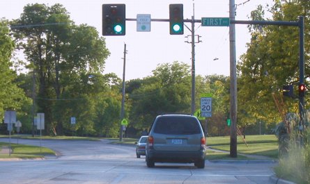
Facing west on 979; note "doghouse"-style light assembly (5/25/03)
Why First Avenue? It's three miles west of MM3, very near the I-80 interchange. First is halfway between IA 1 and the present-day east city limits, but in 1962, this was as far out as the city and development went. East of here, IA 1 was a north-south highway on an east-west road, so rerouting it up IA 261 to Anamosa made sense. The only incorporated town east of Iowa City was West Branch, and I-80 was coming.
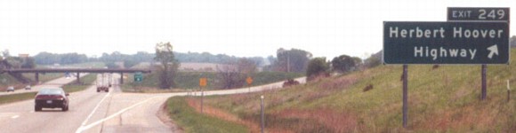
WEST End (1987-2003): I-80 exit 249, Johnson County
Facing west on 979 (5/18/03)
Photo by Jason Hancock
Facing west on 979 (8/8/09)
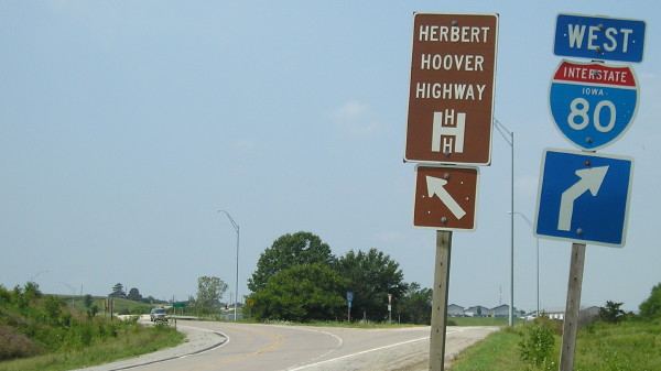
In order for the interstate to meet the Herbert Hoover Highway, the two-lane road was realigned to cross the interstate in a northeast/southwest manner, most evident in the picture facing east below. This was the west end of 979 from July 31, 1987 to decommissioning.
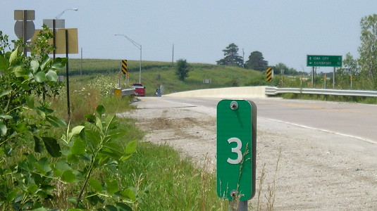
Facing west on 979 (8/8/09)
This is a more curious sight than it first appears: MM3 was visible in Jason's photos from 2003, but this picture shows the mile marker in the Clearview font, which means it was replaced at some point after 979 was decommissioned. (The miles going west trace to the intersection at the top of the page.)
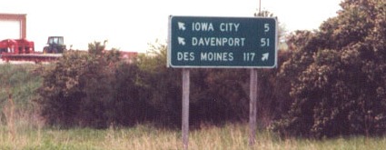
Facing east on Herbert Hoover Highway (5/18/03)
Photo by Jason Hancock
Jason writes, "There may be a goof in this LGS: although you _can_ get to West Branch via I-80, the more direct route would be IA 979 (i.e., the arrow should be slanted to the left instead of the right)."
Facing east on 80 (5/18/03)
Photo by Jason Hancock
Having the exit for the HHH was a convenient "out" to avoid signing a secret route.
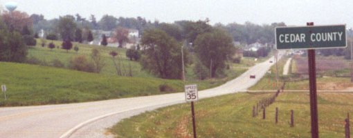
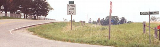
EAST End (1980-2003): City limits of West Branch, Johnson/Cedar county line
Facing east on 979 (5/18/03)
The end is here because of the county line, which happens to concur with the present city limits. West Branch took over its segment in 1971, so technically the rest of the route in Cedar County (see below) was discontinuous.
Facing east on 979 (10/16/12)
Facing west on 979 (5/18/03)
Photo by Jason Hancock
Despite its 50 mph speed limit, this route had been a semi-major one throughout the state's history, a claim that could be proven (or disproven) by its multiple number changes. This nearly-ramrod-straight route between Iowa City and IA 38 was originally part of an IA 74 between Iowa City and Davenport via Tipton. It had become IA 139 by the time West Branch's native son, Herbert Hoover, was elected president. When Hoover left office, IA 1 had been extended along the route from Iowa City to 38. Present-day IA 1 did not become improved and a state highway until the early 1930s, which is exceptionally ironic since 1's general route between Iowa City and Anamosa was part of the first Military Road nearly 100 years prior, before Iowa was even a state. After 1962, when 1 was rerouted north, this road became 979, an "unmarked primary" between Iowa City and 38.
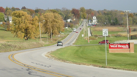
Naturally, a page that involves West Branch should involve plugs for the Herbert Hoover National Historic Site and Presidential Library and Museum, located in West Branch. He and his wife, Waterloo-born Lou Henry, are buried there. Despite this, and Iowans' inclination to both honor him as a humanitarian, Hoover only lived in Iowa until he was 11 years old; after that, he lived all over the world. (Yet another case of Iowans honoring people who became famous elsewhere but happened to be born in the state, although Hoover's birth west of the Mississippi was a historic first for U.S. presidents.)
EAST End (1962-80): Stop sign, IA 38, Cedar County
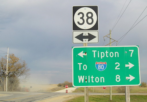
Facing east on 979 (10/16/12)
The rural Cedar County part of 979 was turned over November 24, 1980. There is a picture of this intersection in the DOT archives from the south, back when the east-west road to Iowa City was IA 139 (1926-29).
Page created 1/10/05; last updated 4/11/17