

(July 1, 1920-July 1, 2003)
- In 1920, they knew it as: Malvern's consolation prize when the Blue Grass Road's primary route replacement was made straight between Glenwood and Red Oak.
- We know it as: Malvern's spur for 83 years, now County Road L63
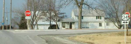
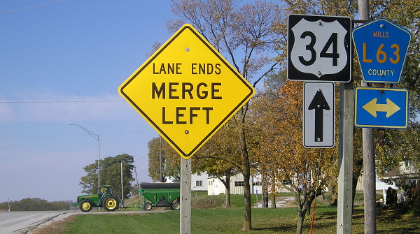
NORTH End: Stop sign, US 34, originally IA 8, Mills County
Facing north on 41 (10/22/14)
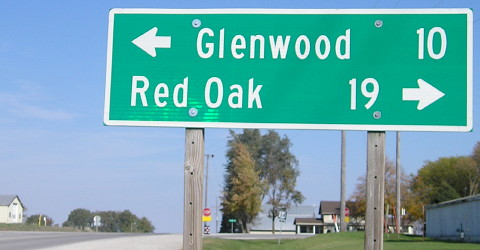
The Blue Grass Road became IA 8 in 1920. However, the primary road skipped quite a few towns in favor of straighter lines.
Facing north on 41 (no "End" sign); gravel L63 goes north (1/20/02)
Photo by Neil Bratney
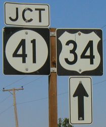
While the first IA 40 eventually was consumed by US Highway 218 and the number reassigned to a tiny spur, IA 41 never did anything more than connect Malvern to the main road. The signs under the stop signs, instead of the generic "Cross Traffic", say that "U. S. 34" does not stop.
Facing east on 34 (6/15/03)
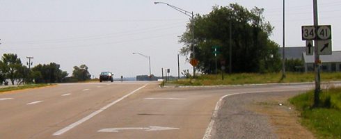
Facing east on 34 (6/15/03)
It's quite an involved intersection for a spur route, especially when the road north is gravel.
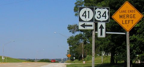
Facing west on 34 (6/15/03)
The three pictures above are some of my "Miracle Pictures" taken at the beginning of my Southern Iowa Road Trip in June 2003. They are so named because it was a miracle they turned out; my digital camera completely quit soon after.
Facing west on 34 (10/22/14)
SOUTH End: 6th Street, Malvern, Mills County
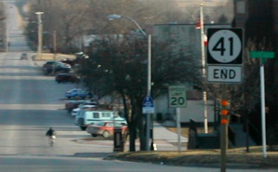
Facing south on 41 (3/13/02)
Photo by Neil Bratney
More reverse signage ("End" on the bottom). Below is the first sign heading north.
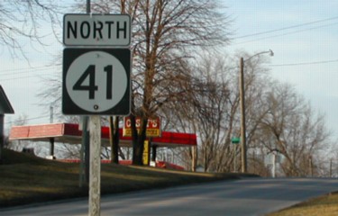
Facing north on 41 (3/13/02)
Photo by Neil Bratney
Malvern is
located in the center of an agricultural region that is second to none
in fertility and productiveness. The town is located in the beautiful
valley of Silver Creek and the farms of the neighborhood are renowned
for unsurpassed fertility of their soil. The country is well settled
and the town of Malvern is the social, educational and business center
of a large territory. ... The town has an opera house, two newspapers
and five churches. A flouring mill in the town derives a large business
from the surrounding territory.
— Huebinger's
Map and Guide for Blue Grass Road (1912)
Surrounding area information: Abandoned US 34 underpass
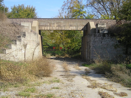
Facing east on old 34, now Jurd Avenue
The entire route of US 34 was paved in five years (1926-30). In the 1960s, as the route was repaved and modernized, both significant segments and small chunks of the original were left behind. This is northwest of Malvern at the CB&Q (now BNSF) tracks. (10/22/14)
Last seen: 2003

Page created 3/22/02; last updated 3/27/04 3/15/20