

(July 1, 1920-July 1, 2003)
- In 1920, they knew it as: An itty bitty piece of the Nishna Valley Route. Maybe. Otherwise, a road to Wall Lake.
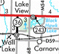
- We know it as: County Road M64
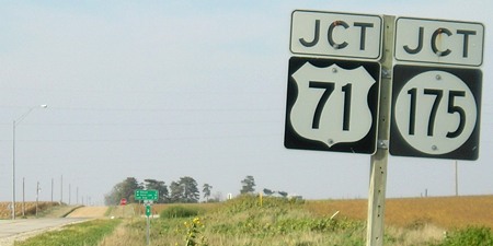
NORTH End: Stop sign, US 71/IA 175, originally IA 35, Decatur County
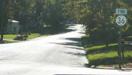
Facing north on 36 (mile marker is 3) (9/17/07)
The cross road carried US 71 from 1935 to 2016. In 1920, this was a sequential intersection, 35 meeting 36.
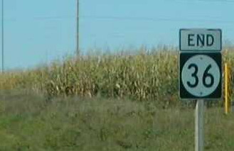
Facing north on 36 (9/20/02)
Photo by Neil Bratney
Three miles of IA 36, unchanged from 1920 to 2003*, made it the lowest spur number from 1920 to 1926 and 1980 to 2003. It lost the distinction in the interim to IA 19, a route mysteriously renumbered to 410 in 1957; a spur IA 7(!), a short-lived, short-distanced, and absurdly numbered route to Oakville; and IA 27, a respectable spur first to George and then Alvord, victim of the first Great Decommissioning (and then, rightly or wrongly, reincarnated as the Avenue of the Saints designation). It makes you wonder just who was in Wall Lake (1920 pop. 737, 2010 pop. 819) or had connections to it in 1920 to drop such a low number on such an insignificant route.
*Not that Sac County didn't try. Locals weren't satisfied with a stub road; they wanted it extended. Really, really wanted it. They wanted it so badly that on May 25, 1932, the Iowa Highway Commission told them that it would never extend 36 southward and would the county please stop asking. The county responded by saying that if the road was not extended, the county's upcoming road bond issue would fail. It did. It failed in 1935, too, despite Wall Lake Township being strongly in favor of paving. Sac County finally voted for $1.1 million in paving bonds July 8, 1936.
Facing north on 36 (9/17/07)
Facing north on 36 (8/8/16)
The 2016 pictures were taken shortly after US 71 was removed from the east-west part of IA 175.
Facing west on 175, but heading north on 71 (9/20/02)
Photo by Neil Bratney
Prior to 71's reroute and 175's commissioning this was a sequential intersection; the east-west road was IA 35.
Facing west on 175 (8/8/16)
Facing west on 175 (8/8/16)
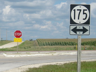
Facing east on 175, but heading south on 71, post-decommissioning (6/14/04 and 9/17/07)
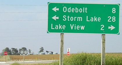
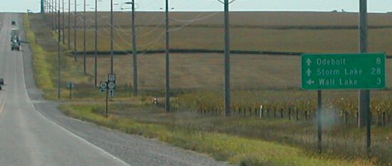
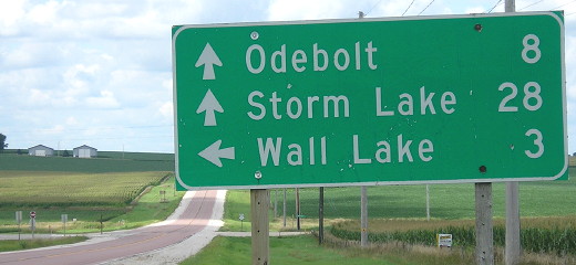
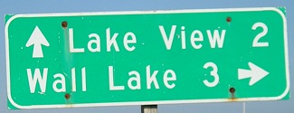
I'm sensing a theme in these mileage signs. Something water-related, perhaps.
Facing east on 175, but heading south on 71 (6/14/04)

Facing east on 175, replacement LGS (8/8/16)
SOUTH End: Boyer St., Wall Lake, Sac County
Facing southwest, but heading south, on 36 (9/20/02)
Photo by Neil Bratney
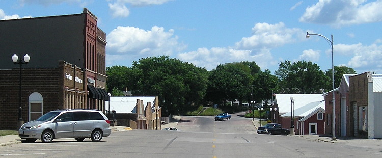
The Wall Lake business district parallels the railroad, so 36 turns southwest for its last few blocks. Neil writes, "Wall Lake is famous as both the home of Andy Williams (whose home is right where IA 36 makes its turn) and Cookies Barbecue Sauce!!" Cookies, as the jingle goes, is the barbecue sauce America loves to eat.
Photo by Neil Bratney (9/20/02)
Mmm...barbecue.
Facing southwest, but heading south, on 36 (6/24/17)
This is First Street at Boyer, the official south end of 36, at the end of the business district. (Not Main, as this website said earlier.) The only real question about this route is precisely when the south extent included the business district. Blueprints in 1940 show a straight road running to the railroad, but by or on April 4, 1960, the end was here.
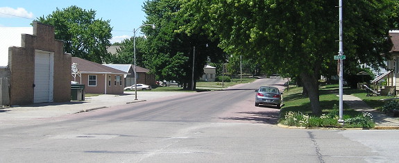
Facing northeast, but heading north, on 36, same spot turned around (6/24/17)
The blue pickup is at the intersection where 36 turned north. That's M64 running north and south now.
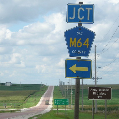
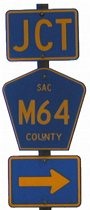
Facing north on M64 (9/17/07)
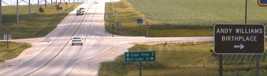
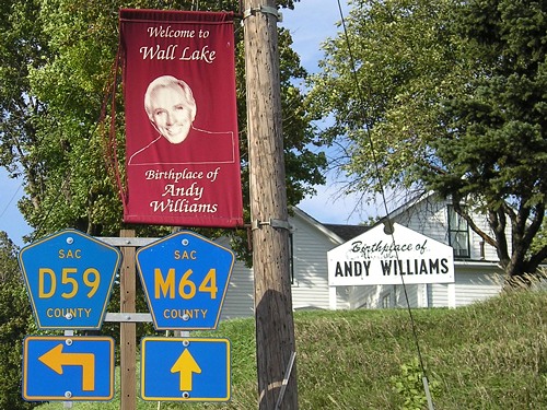
One mile south of Wall Lake, D59 joins M64 to head into town. At this intersection, IA 36 used to go left through downtown and ahead to 71/175. The house in the background is Williams' birthplace.
Last seen: 2003
Page created 5/2/04; last updated 4/6/20