
(February 1, 1938-November 25, 1981)
NORTH End: Stop sign, 1st Ave., Truesdale, Buena Vista County

Facing north on 352/Railroad (3/21/03)
I'm pretty sure that 352 ended here, at the east end of Truesdale's 2-block-long Main Street (that, or it turned left). Yep, it went west one block, so this picture is of the turn and not the end. This spur and 351 to the north were created at the same time, when US 71 was realigned. Before that, 71 skirted the south side of town, going past the school.
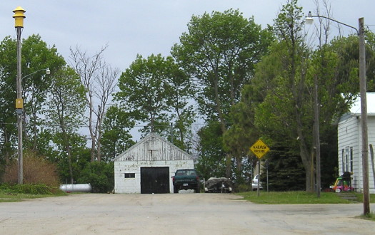
Facing west on Main, but heading north on 352 (5/10/10)
This is one block away from the above pictures after 352 turned to go through downtown. The yellow marker was repurposed but the text that shows through is very different from what is there.
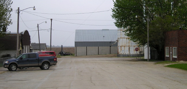
Facing east on Main, but heading south on 352 (5/10/10)
Temporary NORTH End (August 11, 1980-November 25, 1981): City limits of Truesdale, Buena Vista County
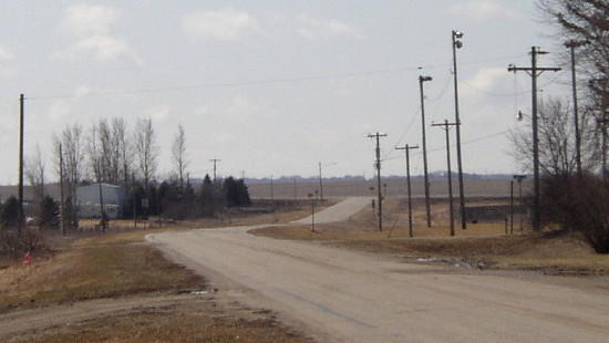
Facing south in Truesdale, from the same spot as the top photo (3/21/03)
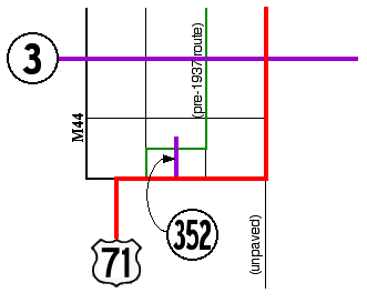
That T intersection in the background is old 71. At the second intersection in this picture, the first alignment of 71 crossed east to west, skirting the south side of Truesdale for one mile before turning north a mile west of its current alignment; see graphic at top. At the time of 71's realignment this IA 3 did not exist; an IA 221 came east from Cherokee on 3's present alignment, went south with (present) 71 one mile, and then continued east to Pocahontas, which in Buena Vista County ran one mile south of the current paved route.
Facing north on 352
News articles of the time say the state was going to recondition three of Buena Vista County's four spur routes "before they are transferred to local jurisdiction", so 352 was likely signed during 1981, with its endpoint changed legally but not in the field.
Facing north on 352 (10/20/18)
Looking north from the same spot as the below picture, you can see the entire route outside of Truesdale.
SOUTH End: Stop sign/T intersection, US 71, Buena Vista County
Facing south on 352 (10/20/18)
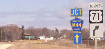
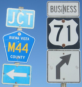
The Business 71 route outside of Storm Lake is co-signed with two county roads. M44 was extended along the north-south portion, although 71's curve remains.
Facing east, but heading north, on 71, now Business 71 (3/21/03)
The northbound (eastbound) mileage sign was still there, but the other wasn't.
Facing east, but heading north, on 71, now Business 71 (10/20/18)

Even though 352 has been decommissioned for more than 20 years, Buena Vista County incorporated the spur into the rural street system. However, that changed between 2003 and 2010. (3/21/03)
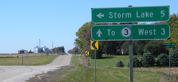
Surrounding area information: Junction M44
Facing north on Business 71 (3/21/03)
This intersection, one mile west of 352, shows the incorporation of Business 71 into the county road system (though I think the business route should also appear on the state map). M44 goes north for a few hundred feet before turning west, and then goes half a mile west before turning north.
Facing north on Business 71 (10/20/18)
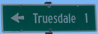
Now why did the M44 arrow change from ahead to "left"? Is it to match the LGS?
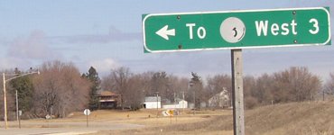
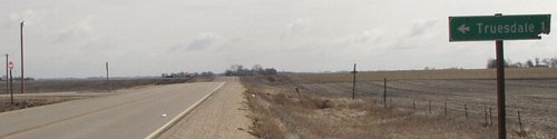
LGS in background of above picture (3/21/03)
The highway picture has almost completely faded from this leftover sign. (To go to 3 east, just follow Bus. 71.)
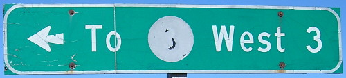
The sign's condition 15 years later is somehow better yet worse. (10/20/18)
Facing west, but heading south, on Business 71 (10/20/18)
Last seen: 1981
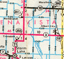
Graphic created 6/22/03
Page created 4/1/04; last updated 3/21/19