

(162: March 4, 1930-July 19, 1982)
(322: July 19, 1982-July 1, 2003)
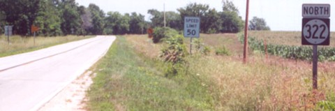
NORTH End of 322/NORTH End of 162: Stop sign/T intersection, IA 92, Madison County
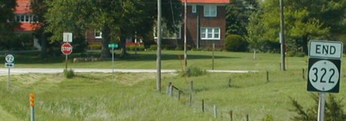
Facing north on 322 (5/11/02)
Photo by Neil Bratney
Neil says the large home on 92 is part of the Rose Hill egg farm complex.
Facing north on 322 (8/6/04 and 9/19/14)
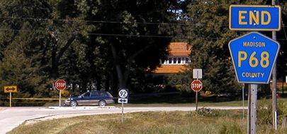
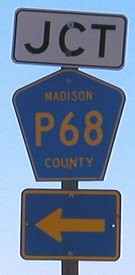
Facing east on 92 (MM 103) (5/11/02)
Photo by Neil Bratney
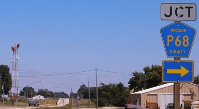
Facing east on 92 (8/6/04)
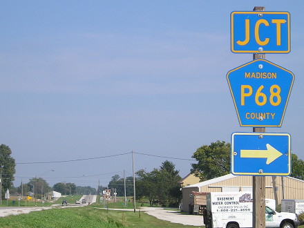
Facing east on 92 (9/19/14)
The big tower in the background has been taken down and the "Jct" is the right color scheme now.
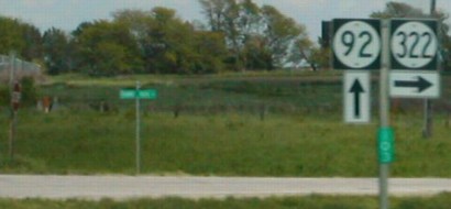
Facing west on 92 (5/21/02)
Photo by Jason Hancock
Facing west on 92 (8/6/04)
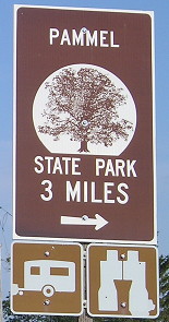
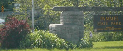
SOUTH End of 322/SOUTH End of 162: Pammel State Park, Madison County
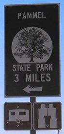
Facing south on 322 (5/11/02)
Photo by Neil Bratney
Unlike some (in fact, many) state park highways, there is an "End" sign here, hiding in the background.
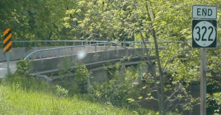
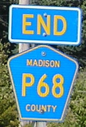
Closeup of signage in background of above picture (5/11/02)
Photo by Neil Bratney
The bridge ahead is over the Middle River.
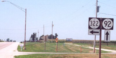
Facing north on 322 (5/21/02)
Photo by Jason Hancock
What happened to IA 162? (1981, 2003 maps)
In the 1981 map (below left), the "dustless" road to Pammel State Park was marked as 162. But soon afterward, it was changed. An hour of scrolling through microfilm of the Winterset Madisonian, October 1980 to August 1982, yielded absolutely nothing on this. It took the online release of legal route descriptions to find out why: Semi drivers mistook the round shield and number "162" for a US shield and number "169" and were turning onto the park road. The first two digits were doubled from "16" to "32" to clear up all confusion.
The 162 designation was original, one of six numbers assigned to roads that went to state parks in March 1930. In the preceding 3½ years, only five additional numbers had been assigned in the Iowa primary road system. Twelve months after 162 was assigned, Iowa's numbers went all the way up to 235.


Page created 9/3/02; last updated 6/27/16