
(June 4, 1935-July 1, 2003)
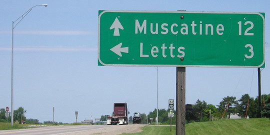
WEST End: Iowa, Chicago and Eastern Railroad tracks, Letts, Louisa County
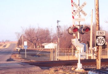
Facing north, but heading west, on 305 (January 2002)
Photo by Jason Hancock
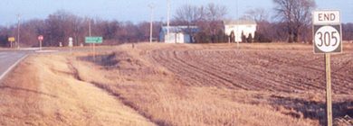
The railroad tracks are less than half a mile from the Louisa/Muscatine line. This is northwest of downtown; 305 made two turns to get here after coming into Letts from the south. While Louisa County did sign the north-south portion as X43, it did not make the east-west mile and three-quarters a separate county road as it should have (G42), but rather decided to call it County Road 305. While such a change might make sense for a long route like IA 99, it seems rather silly to do it for a tiny route with only four houses along the affected portion (and you have to make new shields anyway). UPDATE: It seems Louisa County solved that problem by simply not making or erecting any shields.
Facing north, but heading west, on 305 (5/7/18)
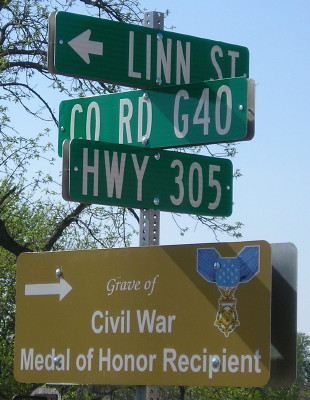
Intersection of Main and Linn streets, Letts (5/7/18)
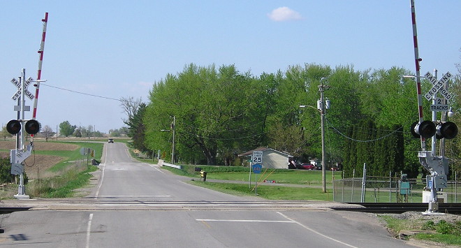
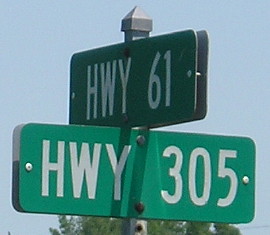
EAST End: Stop sign/T intersection, US 61/IA 92, Louisa County
Facing east on 305 (January 2002)
Photo by Jason Hancock
Jason said there were no signs along the decommissioned Louisa County routes in early November 2003, and there still weren't any in October 2006. A decade-plus later, the 2-mile east-west segment of old 305 remains unmarked. The road decreased in prominence again when the 61/92 four-lane was completed, with an interchange built a mile south to serve Louisa-Muscatine High School instead of here.
Rural sign at intersection (6/8/15)
Facing east on 305 (10/13/06 and 6/8/15)
Facing south on 61, but heading west on 92 (10/13/06)
Facing north on 61, but heading east on 92 (6/8/15)
This picture is now impossible to replicate with the opening of four-lane US 61. The two-lane seen here became the southbound lanes, so the northbound lanes are to the right.
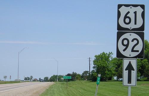
Facing north on 61, but heading east on 92 (6/8/15)
Last seen: 2003
Page created 5/16/02; last updated 1/14/19