
(June 4, 1935-July 1, 2003)
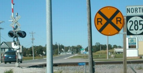
WEST End: Stop sign, Gault St./M68, Arcadia, Carroll County
Facing west, but heading north, on 285 (9/20/02)
Photo by Neil Bratney
Neil writes, "IA 285 enters the town of Arcadia from US 30 going northbound on Division Street. Once it enters town, the highway makes a sharp left turn, southwest onto Front Street (possibly following an old railroad alignment). 285 then terminates at the west end of Arcadia's business district at north-south Gault Street, which leaves town to the north as M68."
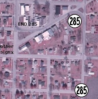
Facing west / Aerial map (9/20/02 and 2002)
Photo by Neil Bratney / Aerial USDA/MIT/NRCS
The county road lines in this north-south swath get a bit weird. M68 continues north to US 20 west of Sac City, but between 20 and US 71/IA 175 at Lake View M68 is actually west of M54! North of US 20, M54 is in its right place, sort of, as it is the last MXX route before running into the N series. On a straight line, though, M63, M64, M66, and M68 - county roads south of IA 175 - are farther west than M54 and even M50 in northern Iowa.
Surrounding area information: In Arcadia (note above map)
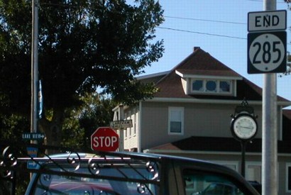
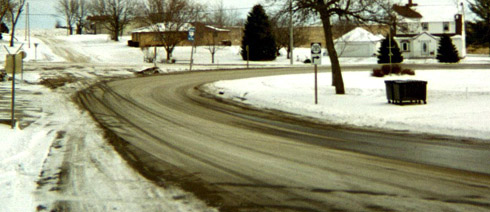
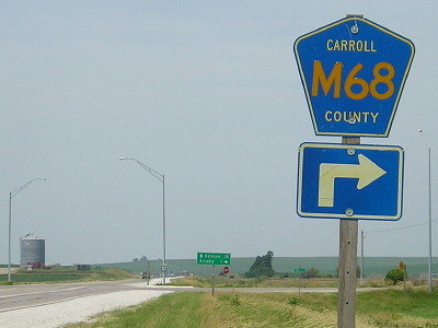
Facing north on 285 (1/19/03)
This is where the route makes a turn to the southwest (120 degrees), around the flagpole.
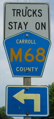
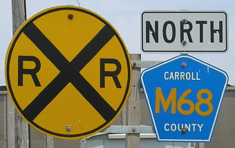
The bottom half of the sign was sawed off/covered up to match the newly placed county road pentagon. (7/5/13)
Facing northeast, but heading south, on 285 (1/19/03)
The snowplow pattern reveals the state route and its high-angle turn.
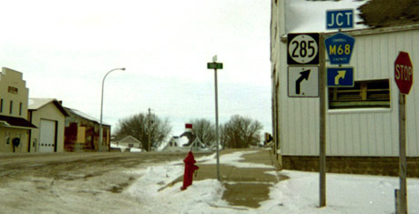
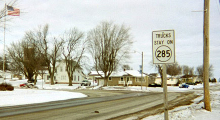
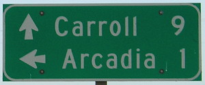
Facing southwest, but heading north, on 285 (1/19/03)
Just before the end, 285 stops going southwest along the business district and goes due west. Today this sign may just have "M68 <ahead and diagonal right>".
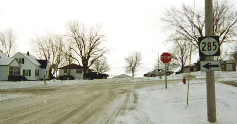
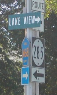
Facing south on Gault Street (1/19/03)
A block south of 285's north end, this lonely sign on a city street points the way to the actual route two blocks east.
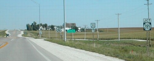
EAST End: Stop sign/T intersection, US 30, Carroll County
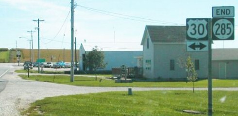
Facing south on 285 (9/20/02)
Photo by Neil Bratney
Facing south on 285 (7/5/13)
Facing east on 30 (9/20/02)
Photo by Neil Bratney
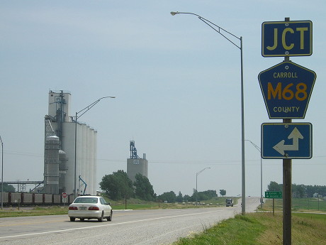
Just in the distance, with turn lanes visible, is a junction with M68, meaning that after decommissioning the county road (which took over 285) is secretly co-signed with US 30 for a short distance.
Facing east on 30, post-decommissioning (7/5/13)
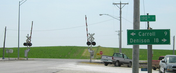
Although the Union Pacific Railroad runs parallel to US 30 here, the Lincoln Highway did not use this road at first. Instead, running west from Carroll, the road was a mile to the south. That's why the northernmost point on the national Lincoln Highway route is just west of Westside.
Facing east on 30 (7/5/13)
Facing west on 30 (1/19/03)
Facing west on 30, post-decommissioning (7/5/13)
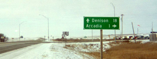
Facing north on 285 (9/20/02)
Photo by Neil Bratney
As you can see by the city limits sign in the distance, the 1 mile on the LGS was an overstatement.
Facing north on 285 (7/5/13)
Last seen: 2003

Pictures by Neil Bratney: First, second, seventh, eighth, and tenth, 9/20/02
Pictures by me: Third-sixth and ninth, 1/19/03
Page created 4/9/04; last updated 1/31/14