
(December 4, 1934-July 1, 1986)
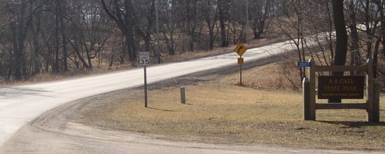
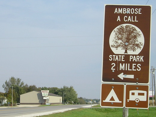
NORTH End: Ambrose A. Call State Park, Kossuth County

Facing west (10/4/16)
The state highway likely ended at the park entrance intersection, facing to the right.
Sign at entrance (3/22/03)
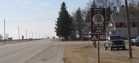
Facing south, at beginning of 274 (3/22/03)
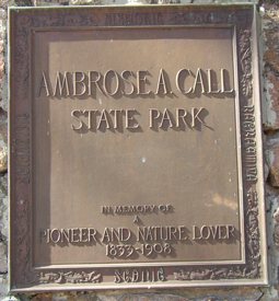
From this point, the route engages in a few twists and turns before heading east to US 169. The speed limit never goes above 45. Call and his brother were the first to claim land in Kossuth County, according to the park website.
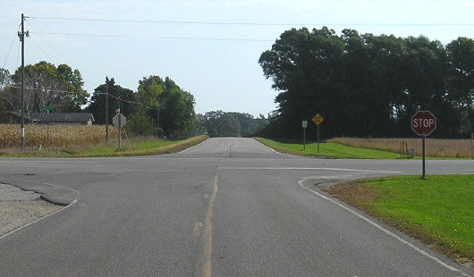
SOUTH End: Stop sign, US 169, Kossuth County
Facing east, but heading south, on 274 (10/4/16)
The last map I have with 274 - 1986, the same year the route was decommissioned - marks the route as gravel. About five years later, two more state highways to state parks that had been gravel (or "dustless"), 118 and 164, were also decommissioned. Each county has since paved its route.
Facing south on 169 (3/22/03)
Facing north on 169 (10/4/16)
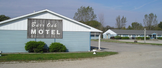
At the intersection was this motel. (10/4/16)
Point of interest:
This was not the original number of the route to the park. The original designation was IA 163, but when US 63 was rerouted in late 1934, 163 was used as the number for 63's prior route to Des Moines. The interesting part is when you consider that you get 274 when adding one to each digit of 163! And it fits perfectly with that year of signage, since numbers 265 through 274 and 276 were all created in 1934. You'll notice 275 is not included; that's because it's one of the two numbers lower than 420 never used for a state route because the US highway system had already appropriated those numbers by the time the state got to them. (The other is 218. It turns out there WAS an IA 169 for a few months before it was renumbered to IA 173.)
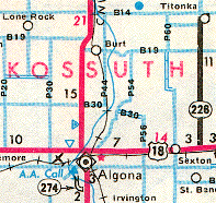
Last seen: 1986 (1981 map)
Page created 6/22/03; last updated 2/20/17