

(IA 52: July 1, 1920-December 4, 1934)
(IA 272: December 4, 1934-November 9, 1992)
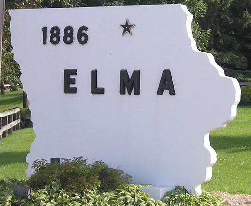
- In 1920, they knew it as: A road connecting Elma (1920 pop. 874, 2010 pop. 586) to the main north-south road in Howard County
- We know it as: County Road B17
Old WEST End (pre-1990): 5th St., Elma, Howard County
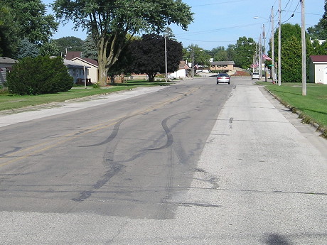
Facing east on 272 (8/4/15)
Facing east on 272 (5/28/06)
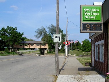
This is in downtown, and the black-on-white sign seems a likely indication that this used to hold an IA 272 shield (but see below). In the background of both photos is an underpass - the tan building is built on the railroad right-of-way - but truck traffic is diverted around it because it can flood easily.
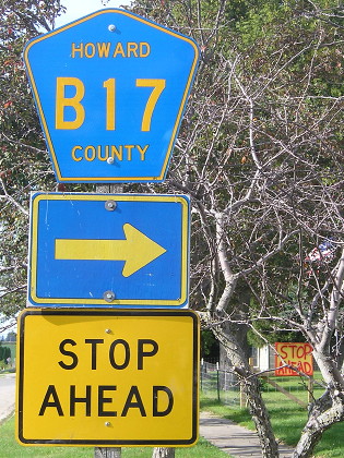
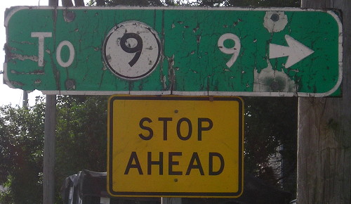
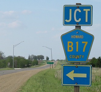
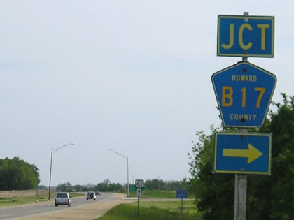
Facing north on V18 (8/4/15)
In case you didn't notice, the locals really want you to stop ahead.
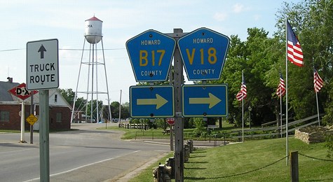
Facing north on V18 (5/28/06)
WEST End (May 1, 1990-November 9, 1992): City limits of Elma, Howard County

Facing east on 272 (8/4/15)
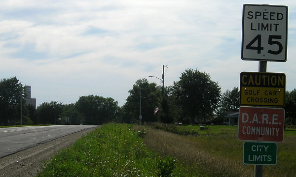
Two years before the route was decommissioned, Elma took the mile inside the city limits, a segment that included the B17/V18 duplex. MM1 is still standing, migrated to a "No Passing Zone" sign. If you turn around and go back into town, you see the following sights:
Facing west on 272 (8/4/15)
This would have been the west end of IA 272 for about two years. It also would have been the end before extension inside city limits.
Facing west on 272 (8/4/15)
This clearly original sign is at the north end of the B17/V18 duplex.
One block south of the above picture (8/4/15)
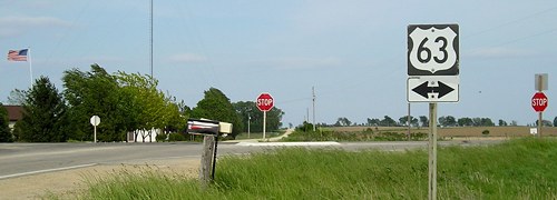
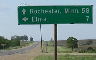
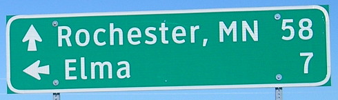
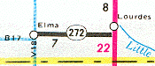
EAST End: Stop sign, US 63, originally IA 59, Howard County
Facing east on 272 (5/28/06)
Half a mile north of this intersection, 63 shifts over slightly for a 'bypass' of the village of Lourdes, which pretty much consists of a church and a cemetery.
Facing north on 63 (5/28/06)
Facing north on 63 (5/28/06)
This is a bit south of the halfway point between downtown Rochester and downtown Waterloo.
Replacement Clearview LGS (9/13/15)
Facing south on 63 (5/28/06)
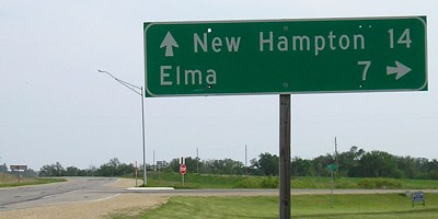
Facing south on 63 (5/28/06)
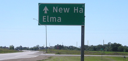
Clearview signs now half off! Priced to move! (9/13/15)
Last seen: 1992 (1991 map)
Page created 11/22/02; last updated 3/15/20