
(February 14, 1933-July 1, 2003)
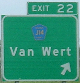
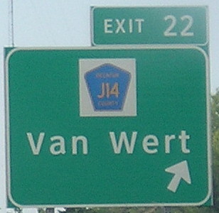
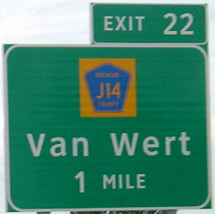
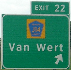
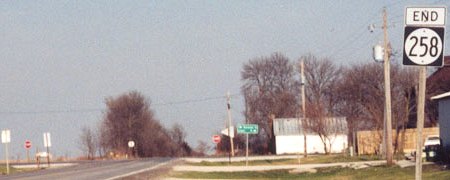
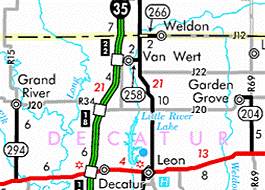
WEST End: I-35 exit 22, Decatur County
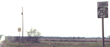
Facing west on 258 (4/14/03)
Photo by Jason Hancock
Facing west on 258 (7/13/03)
Photo by Jason Hancock
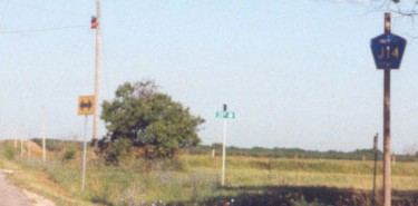
Because Jason and I both went here in the summer of 2003, we know the rural sign was put up between mid-April and mid-June of that year. J14 is a gravel road west of here.
Facing east near the beginning of 258 (4/16/07)
The first and only "East 258" sign was in Van Wert, possibly where the route originally began and ended.
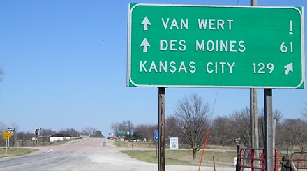
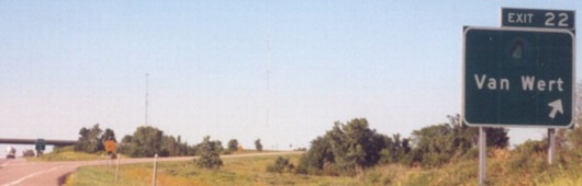
Facing south on 35 (6/15/03)
Like 152 and 207, the BGS is missing a direction tag, in this case an "East". This is only a fraction of a mile west of 258's original end. In 1969, 258 was extended to I-35, going from a spur to a route with both ends at other highways.
Facing south on 35 (7/13/03)
Photo by Jason Hancock
Facing north on 35, post-decommissioning / Facing south on 35, post-decommissioning (5/23/10 and 8/16/16)
Facing north on 35 (6/27/14)
These BGSs have yellow backgrounds on the pentagons. I think this is supposed to become standard but I don't know why.
Old WEST End (February 14, 1933-December 17, 1969): Van Wert, Decatur County
Facing south, but heading west, on 258 (9/26/18)
Before I-35 opened, 258 was a spur from US 69 west to Van Wert. The date above is when the interstate opened. Based on common practice, 258 almost certainly turned south from Line Street onto Main Street two blocks to end at Second Street.
Facing north, but heading east, on 258 (9/26/18)
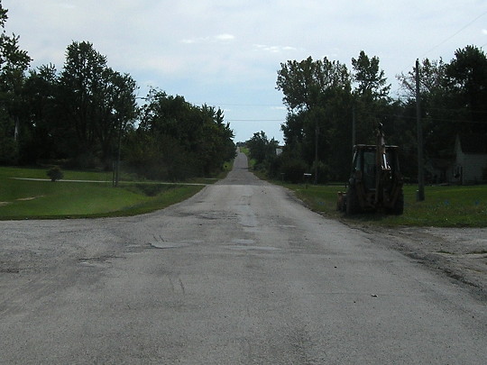
Not much to see, but there's not much to show. The route for 258, now J14, runs across the center.
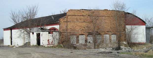
The abandoned gymnasium on the west end of Van Wert was demolished between summer 2011 and summer 2013. (4/1/10)
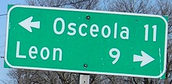
EAST End: Stop sign, US 69, Decatur County
Facing east on 258 (4/14/03)
Photo by Jason Hancock
I have to give Jason special thanks for this picture because, due to my digital camera quitting on me at the beginning of this trip, my analog shot of this is half-occupied by my thumb. Which half? The important one, of course.
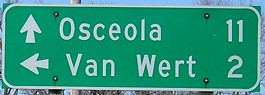
Facing east on 258 (4/16/07)
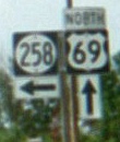
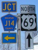
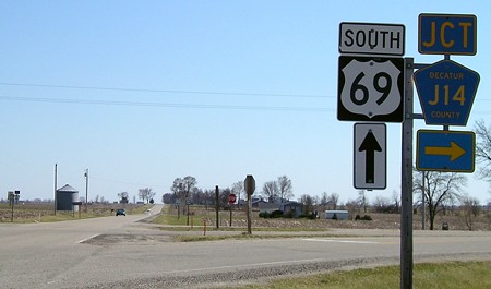
Facing north on 69 (middle photo: 4/16/07 and 6/15/03 and 4/16/07)
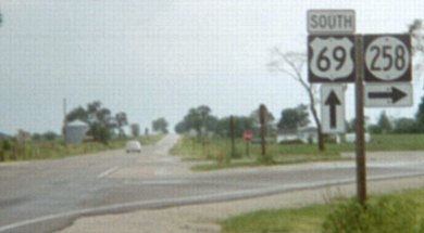
Facing south on 69 (4/14/03)
Photo by Jason Hancock
Facing south on 69 (6/15/03)
Both 258 and 266 had sort-of Y intersections at 69, just little ramps on either side with a road still going forward to a T.
Facing south on 69 (4/16/07)
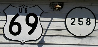
Homemade shields on side of barn at intersection (4/16/07)
Last seen: 2003
Page created 4/6/02; last updated 1/14/19