
(1931-July 1, 2003)
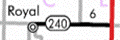
WEST End: 2nd Ave., Royal, Clay County
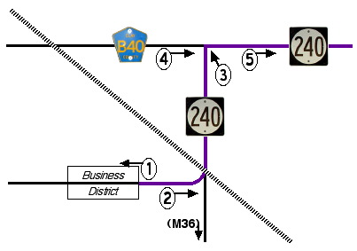
As you go west in Iowa, the section lines start to tilt. In Clay County, the lines you expect to run straight north-south and east-west are off the normal about 2.5 degrees clockwise. (In other words, Photo 4 is ever so slightly north of Photo 5.) This is visible when you view aerial photos. The diagram below has been straightened.
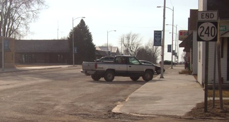
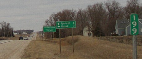
1) Facing west on 240 (3/21/03)
Unlike some spurs, 240 ends at the near end of the business district instead of going through it.
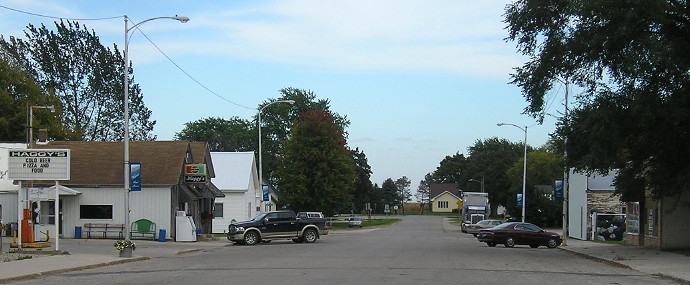
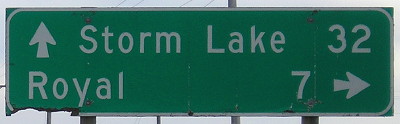
Facing east on 240 (10/3/16)
After starting downtown, 240 curves north, as seen in the deep background and below.
2) Facing east on 240 (3/21/03)
If you turn right, you will be on County Road M36, although it is unsigned until you leave Royal (3 blocks south). I don't know if this has changed since decommissioning.
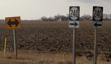
3) Facing north-ish (3/21/03)
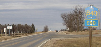
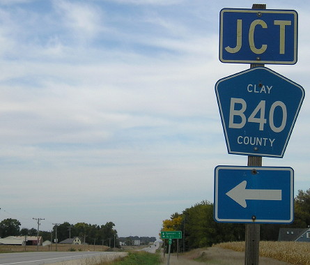
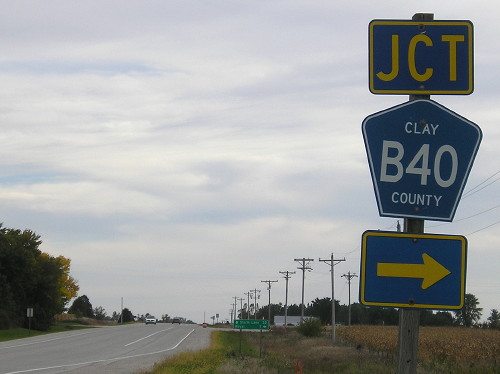
4) Facing east on B40 (3/21/03)
Unlike IA 383, where the county road stopped, the north-south road stops here. The roads ahead and to the right are both 240.
5) Facing east on 240 (3/21/03)
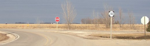
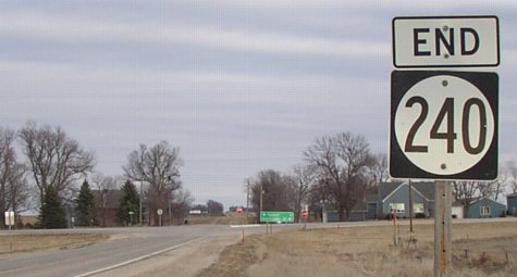
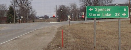
EAST End: Stop sign, US 71, Clay County
Facing east on 240 (3/21/03)
Facing east on 240 (3/21/03)
Facing east on 240 (10/3/16)
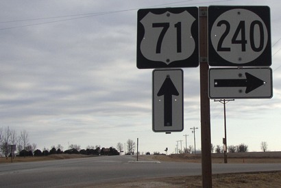
Facing north on 71 (3/21/03)
The second LGS reads "To Southwest Spencer / Industrial Area / <- 9 MILES". That sign is gone now.
Facing north on 71 (10/3/16)
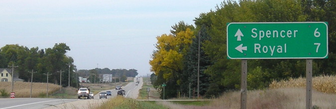
Facing north on 71 (10/3/16)
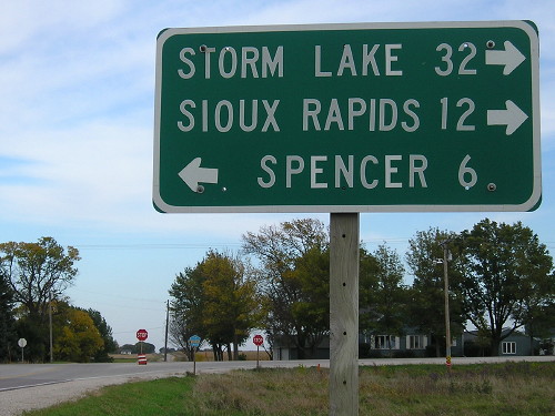
Facing south on 71 (3/21/03)
Facing south on 71 (10/3/16)
Facing south on 71 (10/3/16)
Last seen: 2003
Page created 4/2/04; last updated 3/5/17