
(May 27, 1931-July 1, 2003)
NORTH End: Stop sign/T intersection, IA 2, Fremont County
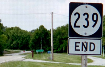
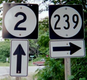
Facing north on 239 (6/16/03)
Facing north on 239 (6/12/06)
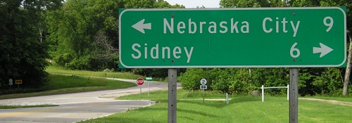
Although "Nebraska City" is probably self-explanatory, still notice that there's no state listed on the sign.
Facing north on 239 (4/20/02)
Photo by Neil Bratney
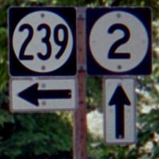
Facing west on 2 (4/20/02 and 6/16/03)
Left photo by Neil Bratney
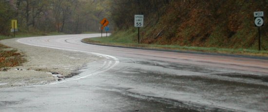
Facing east on 2 (4/20/02)
Photo by Neil Bratney
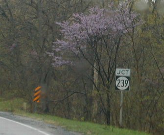
Neil writes, "The stretch of IA 2, ascending from the Missouri valley was some of the most beautiful stretches of a main state highway I've seen, with many blossoming purple Red Bud (Cercis canadensis). The species is native to southwest Iowa and southeast Nebraska. (Thanks to Mark Odor for identifying this tree!)"
Facing east on 2 (6/16/03)
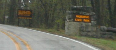
SOUTH End: Waubonsie State Park, Fremont County
Facing south on 239 (4/20/02)
Photo by Neil Bratney
In 1981, the length of the route was extended by a tenth of a mile.
Closeup of park entrance (4/20/02)
Photo by Neil Bratney
There was no "End" sign. The DNR has a park page here.
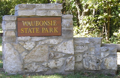
Closeup of park entrance (10/2/15)
This road now goes through the entire state park and out the other side, connecting to the blacktop to Hamburg.
Last seen: 2003
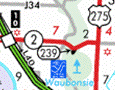
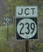
Highway 239 was the southwesternmost spur in Iowa.
Page created 5/16/02; last updated 12/18/16