
(January 8, 1931-July 1, 2003)
NORTH End: A18/Osceola Ave., Harris, Osceola County
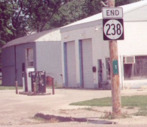
Facing north on 238 (7/11/02)
Photo by Kurt Berge
In downtown Harris, cross traffic (county road) stops, while traffic coming off IA 238 does not. Kurt's pictures are pre-decommissioning; mine are post-decommissioning.
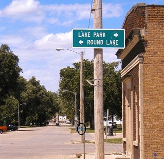
Facing north on 238 (6/15/04)
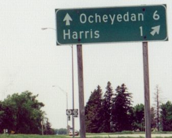
Circled is Mile Marker 1, visible in Kurt's picture above, minus the 238 shield. Straight ahead is one of the buildings in the Harris-Lake Park school district, which was torn down two years after the picture was taken.
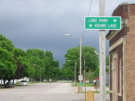
Facing north on 238, with vacant school lot and ominous thunderstorm in background (6/5/14)
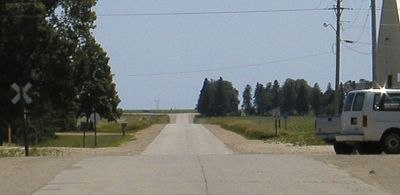
Facing south (6/15/04)
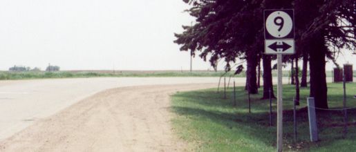
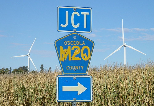
From the north end, the entire route can be seen. Notice the M20 shield by the speed limit sign.
According to paving records from 2002, right before IA 238 was decommissioned, 238 had some of the oldest pavement currently in use by a state-maintained route. The route was paved in 1931, as part of the straightening of IA 9 in the area. The entire route has since been repaved with asphalt.
EAST End: Stop sign/T (formerly split-T) intersection, IA 9, Osceola County
Facing south on 238 (6/15/04)
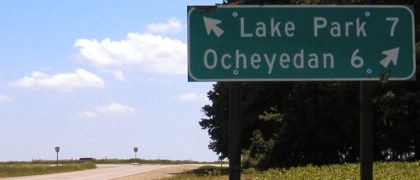
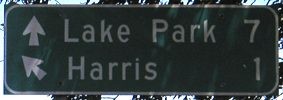
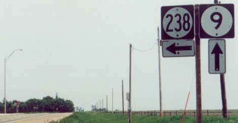
Neither Lake Park nor Ocheyedan is actually on the present alignment of 9. The route was a split-T intersection (hence the diagonal arrows) until shortly after these pictures were taken.
Facing south on 238 (5/31/03)
Photo by Kurt Berge
There was no "End 238" at the intersection prior to decommissioning.
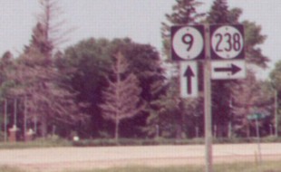
Facing east on 9 (6/15/04)
Facing east on 9 (6/15/04)
Facing east on 9 (5/31/03)
Photo by Kurt Berge
Facing west on 9 (9/30/15)
This looks like a repurposed A48 sign.
Facing west on 9 (5/31/03)
Photo by Kurt Berge
Facing west on 9 (7/11/02)
Photo by Kurt Berge

Northeast corner of intersection (6/5/14)
Last seen: 2003

Page created 5/1/04; last updated 12/13/16