
(December 1, 1930-July 1, 2003)
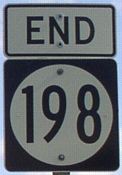
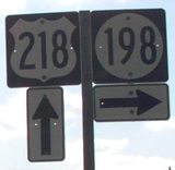
NORTH End: Stop sign, US 218, Benton County
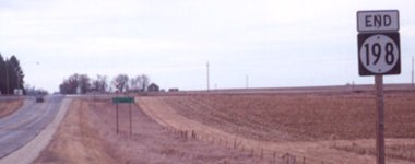
Facing north on 198 (1/13/02 and 5/20/03)
Left photo by Jason Hancock
Highway 198 was the first in the series of sequential Benton County spurs (198-201 and the first 202).
Facing north on 198 (5/16/17)
Facing north on 198 (5/16/17)
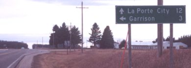
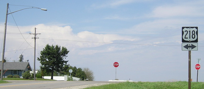
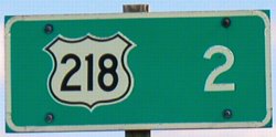
Facing west, but heading north, on 218 (1/13/02)
Photo by Jason Hancock
Facing east, but heading south, on 218 (5/20/03)
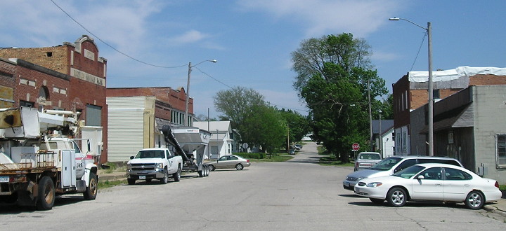
There used to be a sign for the Old Creamery Theatre, but it moved all operations to the Amana Colonies a long time ago. Three miles actually takes you through Garrison to E22.

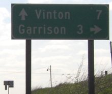
Facing east, but heading south, on 218, post-decommissioning (11/26/08)
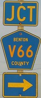
The Clearview mileage sign is a metal one with support bars, similar to those that until now have only been seen at interchanges.
SOUTH End: City limits of Garrison, Benton County
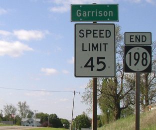
Facing south on 198 (5/20/03)
Before 1980, 198 went into town and turned west for one block to include the business district on Main Street (see below).
Facing north on 198 (5/20/03)
Old SOUTH End: Railroad Street, Garrison, Benton County
Facing south on 198 (5/16/17)
Nearly all the Benton County spurs were truncated to city limits during the Great Decommissioning of 1980.
Facing east, but heading north, on 198 (5/16/17)
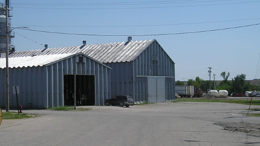
The 1930 end of 198 was Sycamore at Main - coming southward to the intersection in the center of the photo. In 1960, as part of a statewide refinement of spur route termini, 198 was extended two blocks - the downtown block seen above, then a block south/right to the railroad (the shed photo above).
Last seen: 2003

Page created 5/4/02; last updated 11/20/17