
(October 1, 1980-November 12, 2001)
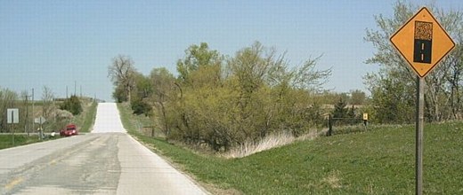
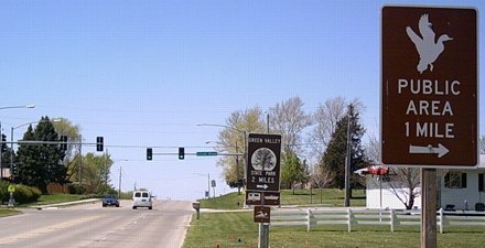
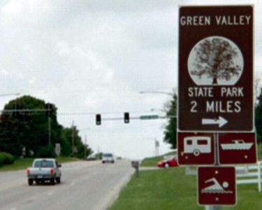
NORTH End: Green Valley State Park, Union County
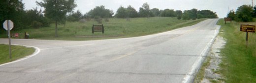
Facing west, but heading north, on 186
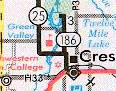
As one of the new spurs to state parks created in 1980, 186 holds a unique distinction in that the mileage surrounding its original incarnation is still on the 2003 Iowa map. The first 186 was a spur from US 34 to Prescott, east of Corning and about 16 miles southwest of this 186.
Facing west, signs at right in top picture in center here
Photo by Jason Hancock
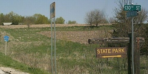
Facing southwest, park entrance
Photo by Jason Hancock
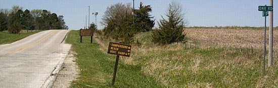
This intersection, on the north side of Green Valley Lake, is .4 mile west of the main north-south road 186 followed.
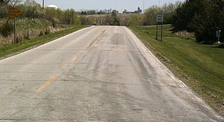
Facing east, but heading south, on 186
Photo by Jason Hancock
Facing north on 186
Photo by Jason Hancock
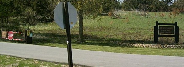
Where 186 turned west, a gravel road continues north as P27. That was also the pre-1980 designation of the north-south segment, but there have been no P27 signs placed along the route, not even at the intersection with H24 halfway through.
Facing north on 186
Photo by Jason Hancock
At left is the first P27 shield seen after leaving Creston.
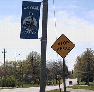
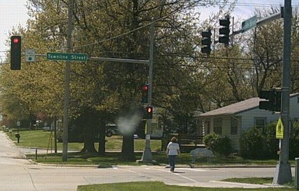
SOUTH End: Stoplight(?), IA 25/Townline St., Creston, Union County
Facing south on 186
Photo by Jason Hancock
A "Stop Ahead" before a stoplight? This might mean that the light was put up after 2001, when 186 was turned over.
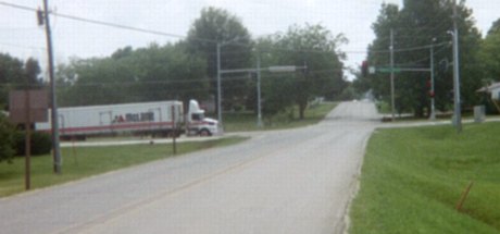
Facing south on 186
This is approximately where the "End 186" sign would have been, but all signage has been removed (save for that Adopt-A-Highway on the left). There aren't even leftover IA 25 signs before or after the intersection (see below), but there aren't any P27 shields either.
Closeup of the intersection
Photo by Jason Hancock
Facing west, but heading north, on 25
Photo by Jason Hancock
Facing west, but heading north, on 25
While it might appear on a (pre-2006) map that this is northwest of Creston, that's not true. Development extends to this area, with shopping just behind me. There is one block of IA 25 between this intersection and turning south (hence the slight offset on the state map). Aerial photos indicate 25 used to have a large west-to-south curve instead of the intersection it now uses to turn south through the 1970s.
On the south side of Creston, IA 25 and US 34 meet in an interesting fashion - northbound/southbound 25 uses a separate side street while traffic to 34 eastbound goes straight south. Between Creston and the Clarke/Union county line there are lots of old paved pieces of US 34 bypassed when the road was straightened in the mid-1970s. Many paved public pieces show up in the county map; others turned over to private control, including a dip right at the county line, are not shown because they're blocked off.
Last seen: 2001
Pictures by Jason Hancock: Second-seventh, ninth, and tenth, 4/23/06
Pictures by me: First and eighth, 6/15/03
Page created 9/21/03; last updated 3/26/07