
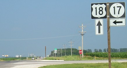
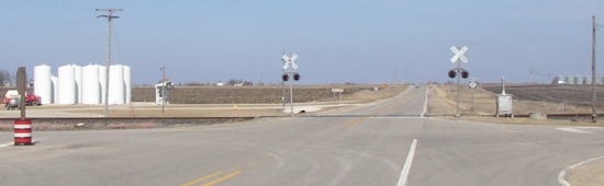
NORTH End: Stop sign/T intersection, US 18, near Wesley, Kossuth/Hancock county line
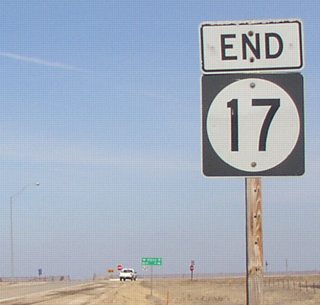
Facing north on 17
This is most likely the most isolated end in Iowa. It is the only current route to end in either Kossuth or Hancock County. As of July 1, 2003, the nearest end is the west end of IA 122, 31 miles away; the second-nearest end is a tie for 10 East and (North) 15 South, both 54 miles away in Pocahontas County.
Facing north on 17
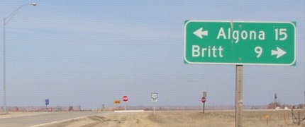
Facing east on 18
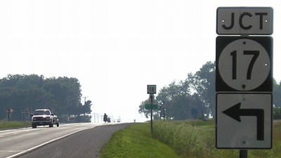
On both eastbound and westbound 18, the "Jct 17" has an ahead-and-turn arrow. LGS reads "^ Britt 9; Corwith 8->".
Facing east on 18, Hancock County sign above 18 shield in background (March 2003)
This is a simple T intersection, so replacing an arrow should be an easy thing to do, right?
Facing east on 18 (July 2005)
Apparently not.
Facing west on 18
Facing west on 18
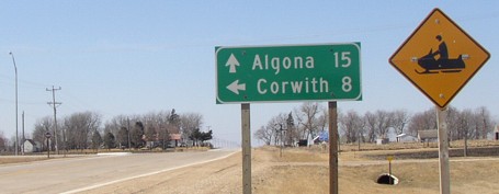
In mid-March 2003, there was very little need for a snowmobile sign. :-)
Facing east on 18, Kossuth County above 18 shield in background
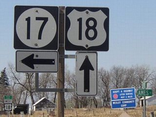
Although Ames is not on 17, maybe it comes close enough for Hancock County.
Surrounding area information: North end of IA 60 (pre-1961)
Facing north on 60
Prior to 1961, this was the north end of IA 60, and then 18 was realigned. The current end is in the background of this picture. Now the traffic on old 18 stops. The Great Renumbering killed this version of IA 60. The only route change since then was a realignment to the new US 20, something Rand McNally didn't acknowledge until the mid-2000s.
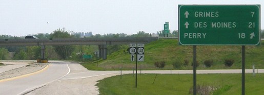
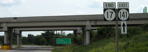
SOUTH End: Interchage, IA 141, Granger, Polk/Dallas county line
So confused it doesn't even know what county it starts and ends in. ;-)
Facing south on 17
Mileage signs leaving towns along 17's route heading south still use Des Moines as the bottom city.
Facing south on 17
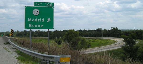
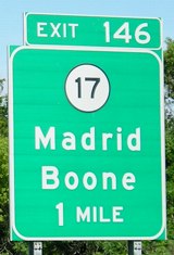
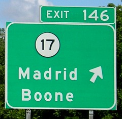
With this trumpet interchange, the "End" sign is posted after the westbound onramp and the road becomes the eastbound onramp. Although the interchange was not marked as such on the Iowa map prior to 2002, it had been around before then for a while. The LGS has the top two cities listed in the above picture.
Facing southeast, but heading east, on 141
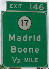
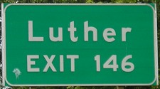
This supplementary BGS for Luther means that the only three towns on 17 not included on a BGS are Goldfield and Renwick, both in Wright County. (Stanhope is on I-35 at D65, Eagle Grove on US 20 at IA 17.)
Facing southeast, but heading east, on 141
Here you can see the pure trumpet interchange, with the offramp becoming the northbound lane of 17 and the southbound lane of 17 becoming the onramp to 141.
Facing northwest, but heading west, on 141
As I have remarked elsewhere, it is a bit odd that a semi-major east-west highway is generally north-south as it approaches the major metropolitan area. Also note that 17 proper does not go directly to Boone, but this is the way from Des Moines.
Pictures by me: First, second, fourth, and seventh-ninth, 3/22/03; third, fifth, and sixth, 7/16/05; tenth, 5/17/05; eleventh-fourteenth, 7/29/09; 15th and 16th, 6/25/06
Page created 9/11/02; last updated 1/29/10