
(March 19, 1930-November 10, 1980)
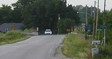
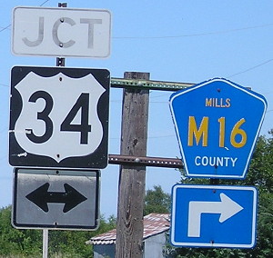
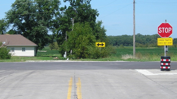
NORTH End: Stop sign, US 34, Mills County
Facing north on 166 (6/12/06)
This photo was taken from near the south end of the highway, showing that one end can be seen from the other.
Facing north on 166 (8/23/19)
Facing north on 166 (8/23/19)
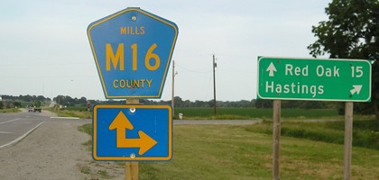
Facing east on 34 (6/12/06)
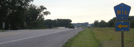
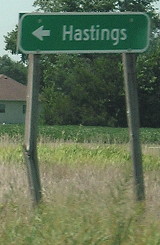
Facing west on 34 (6/12/06 and 8/23/19)
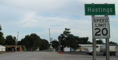
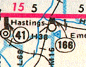
SOUTH End: Hastings, Mills County
Facing south on 166 (6/12/06)
South of the tracks, the pavement changes to a lower quality of asphalt, but unlike what I figured this is not where 166 ended. The final distance given in the 1980 route log points to Hale Street to the south, where the blacktop changes to concrete again.
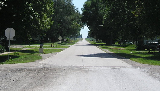
Facing south on 166 (8/23/19)
Hastings' community building is to the right.
Last seen: Late 1980 (1981 map)
Page created 9/11/06; last updated 3/10/10 5/7/20