
(July 1, 1980-July 1, 1987)
As the date above indicates, the 2007 Rand McNally atlas showed a highway that had been dead for 20 years. It was finally gone by the end of the decade. Now, someone tell Google.
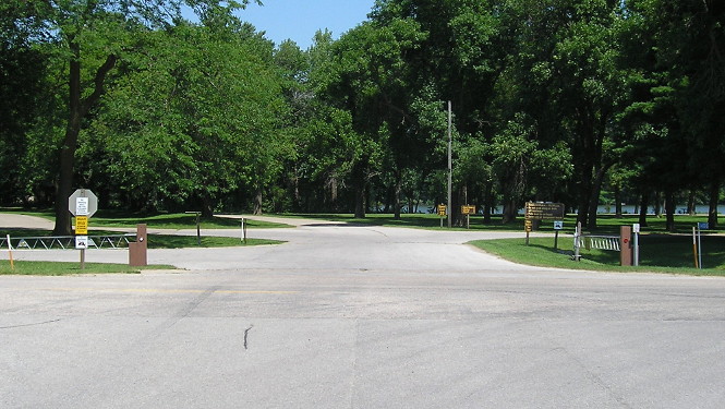
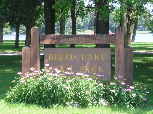
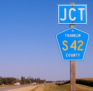
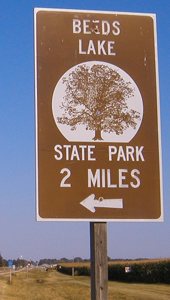
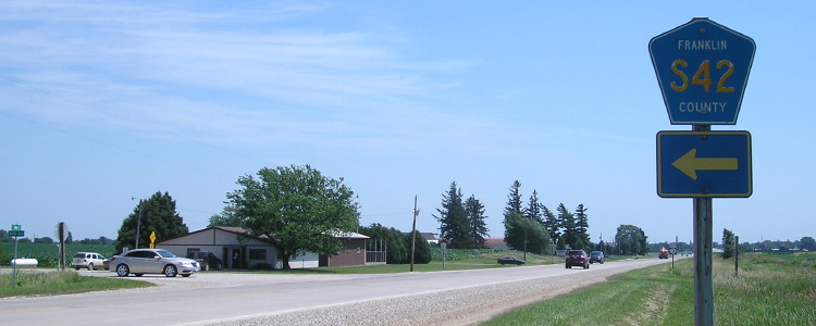
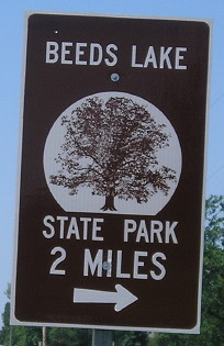
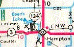
NORTH End: Beeds Lake State Park, Franklin County
Facing north on 134 (7/9/18)
Facing north on 134 (9/5/03)
As one of the new spurs to state parks created in 1980, IA 134 stands today as the only state highway number to go through four (state) incarnations with the fourth decommissioned. Active numbers on their fourth iteration are 7, 23, 27, and 130. Two of those are a result of the Great Renumbering of 1969; the other two were created in the past 15 years. (The number 161 also had four versions, but one was a US highway.)
The second and third versions of IA 134 are easily discernible on a map. The second is between the Missouri River and Glenwood, originally replaced by US 34 but between 1974 and 2003 split up among 34, IA 978, IA 385, and US 275. The third is now C47 between US 65 and Geneva, also in Franklin County. The first alignment of the highway is discussed in detail below.
Facing north (7/9/18)
The official DNR page for the park says: "[A] focal point of the park is the unusual 170 foot-long spillway with horizontal layers of limestone dropping abruptly 40 feet. It was built by the Civilian Conservation Corps in the 1930s. In 1857, T.K. Hansbury built the first dam to supply water for the operation of a sawmill. Two years later, water power was used to operate a flour mill. William Beed put in the long causeway when he bought the property in 1864. He operated the mill until 1903."
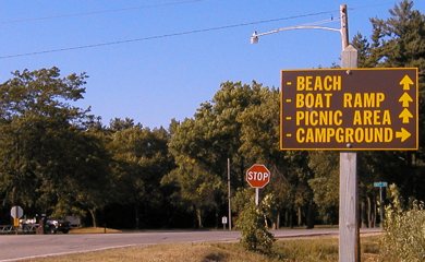
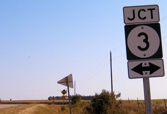
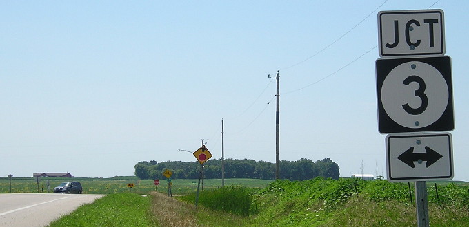
SOUTH End: Stop sign, IA 3, near Hampton, Franklin County
Facing south on 134 (9/5/03)
In 2003, I slowed down to look for trains on the tracks crossing 134 just to the north of this picture ... only to see a red square on a yard-high pole smack in the middle of the tracks, with a lot of grass to boot. Since then, the tracks have been removed, and the grade between this road and Coulter turned into a bike trail. The grade exists east of here, but there appears to be a gap in the trail between Hampton and Hansell.
Facing south on 134 (7/9/18)
Facing east on 3 (9/5/03)
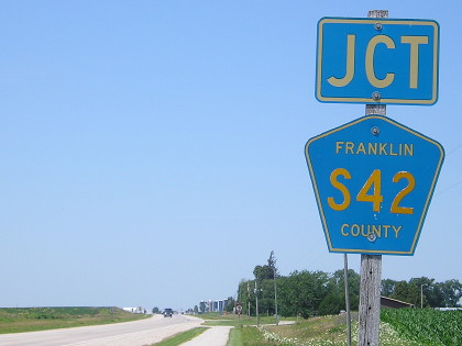
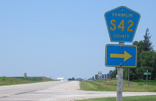
The separate "Jct" and arrow signs (below) reveal the former state highway nature of the intersection.
Facing east on 3 (7/9/18)
Facing west on 3 (7/9/18)
See the sidewalk/bike path on this side of the road, bottom center, which turns north to "share the road" toward the park.
Facing west on 3 (7/9/18)
Point of interest: Original route's alignment
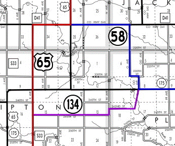
The first version of IA 134 existed because of the original stairstep fashion of highways in their infancy. This map is my best approximation of the highways in 1927 (see below). The routes are based on the alignment of 65 east of Hubbard, the fact that 58 and 134 appear to have had a T intersection, and the county road shown under the 58 shield in the below map. The road between 242nd Street, which now dead-ends, and a driveway that intersects 58/175 with a bridge crossing the South Fork of the Iowa River has been removed. (However, one can easily discern a former connection between the pieces in aerial photos; the road itself may not have been eliminated that long ago.)
Last seen: 1987 (1927, 1986 maps)
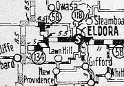
At left is the original IA 134. As you can see, it was created because of the stairstepping of the other two roads. At right is the last IA 134.
Page created 9/26/03; last updated 5/1/07 1/9/19