
(April 30, 1923-July 1, 2003)
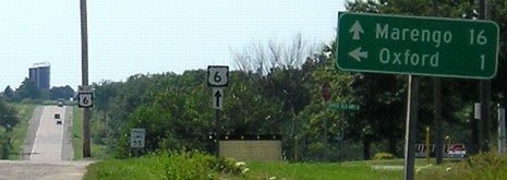
NORTH End: Stop sign, US 6, Johnson County
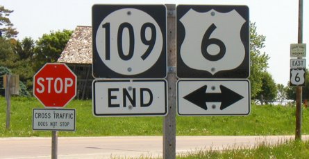
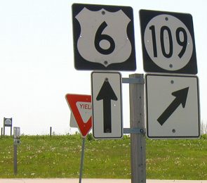
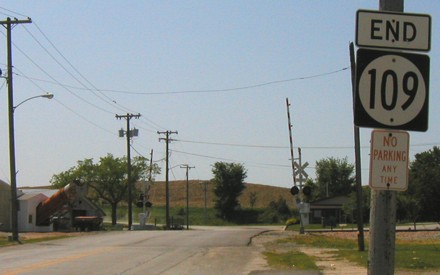
Facing north on 109 (5/25/03)
LGS before above picture (Watch the birdie...click!) (5/25/03)
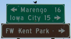
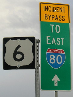
Facing east on 6 (12/21/01)
Photo by Jason Hancock
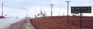
Facing east on 6 (10/23/19)
Facing east on 6 (10/23/19)
Facing east on 6 with "109 End" visible on left
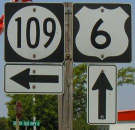
Facing west on 6 (5/25/03)
The "Upper Old Hwy 6" sign confused me, along with a "Lower Old Hwy 6". Paving history indicates a new alignment for 6 was paved in this area in 1955.
Facing west on 6, post-decommissioning (7/15/06)
Facing west on 6, post-decommissioning (7/15/06)
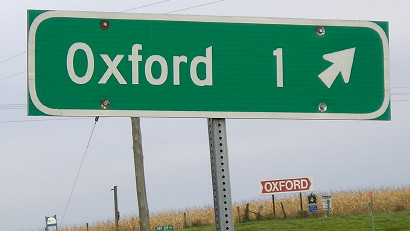
SOUTH End: Oxford, Johnson County
Facing south on 109 (5/25/03)
The final route log gives a distance of .13 miles from Wilson Street to the south end, but this sign is farther south than that. I speculated that, like in some other towns, the end was at the railroad tracks, and this sign would seem to back it up, but given the log I don't know for sure.
Facing south on 109 (10/23/19)
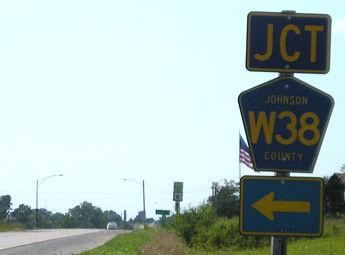
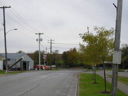
Just south of the tracks, W38 goes west and south to meet I-80. Note new curb, sidewalk, and trees.
Facing north on 109 (10/23/19)
"ATTENTION. The winding road through Oxford is the Official River to River Road, but is the worst stretch of road along the entire route. In places so sandy as to make it almost impassable. Tourists not intending to visit Oxford are advised to take a road marked B on map." — Huebinger's Map and Guide for River to River Road (1910)
The R2R in Oxford appears to be markec coming from Iowa City on 6, Lower Old Highway 6 Road, Lower Oxford Road, Short Street, Mill Street, Nemora Avenue, and Main Street (a block north of Center).
Last seen: 2003

Page created 5/14/02; last updated 2/20/10 5/9/20